Curdies River - Dorey St Ramp
Curdies River - Dorey St Ramp
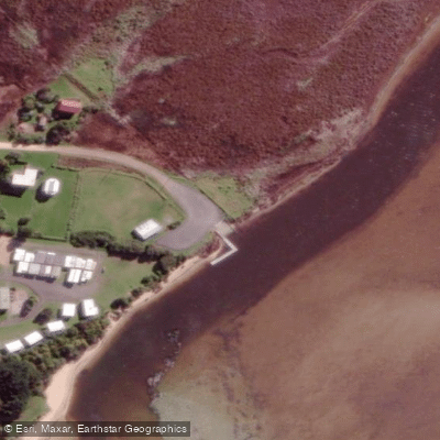
The Dorey Street boat ramp sits on the Curdies River estuary at Peterborough, Victoria, along the Great Ocean Road.
It serves as a practical launch point for anglers and recreational boaters, with a floating pontoon located alongside the ramp at the end of Dorey Street. The ramp effectively divides the estuary into two activity zones.
To the south, boaters can access the inlet toward the sea, while heading north opens up a stretch of calm water running upstream to Curdievale — a popular route for fishing tinnies, kayakers, and paddleboarders.
Boaters making the upstream run can moor at the Curdievale pub before returning downstream.
Visitors should be aware that blue-green algae outbreaks have become increasingly common in the estuary during late summer and early autumn, before winter rains flush the system.
More ways to access Curdies River
Explore the wonders of Curdies River! Find excellent fishing spots, easy access to boat ramps, and all the amenities you need for a memorable day by the water. Your adventure starts here.
Water and weather conditions (10 day forecast)
Check the forecast at Curdies River - Dorey St Ramp before you go fishing.
No forecast data available.
Fishing near Curdies River - Dorey St Ramp
Merri River
Hopkins River
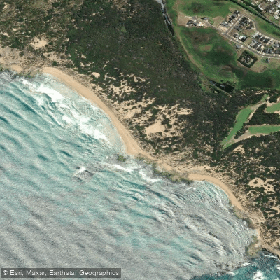
Shelly Beach
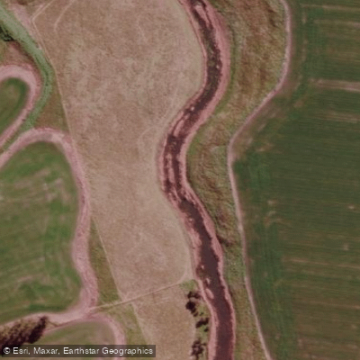
Mount Emu Creek
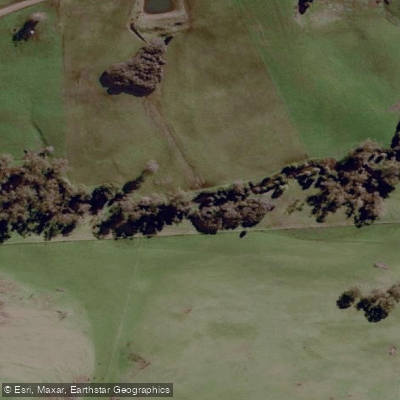
Curdies River
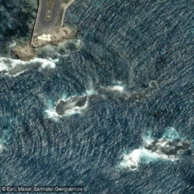
Inner Reef
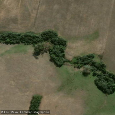
Brucknell Creek
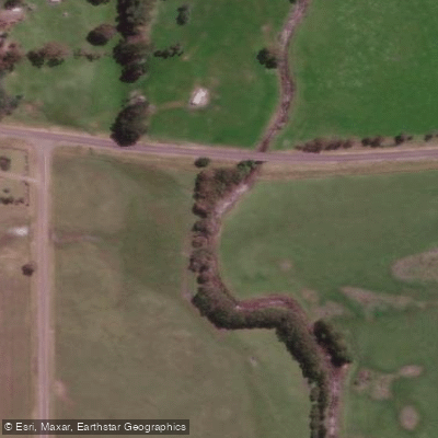
Moyne River
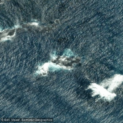
Annabella Reef
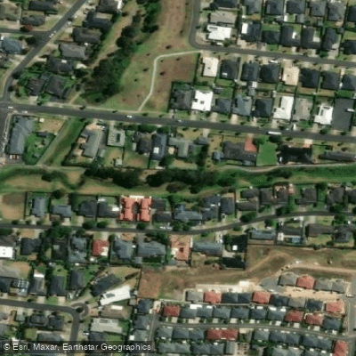
Russells Creek
Victoria licenses and regulations
Explore Victoria waters
Top fishing waters
No waters available right now.
Popular Cities
Loading popular cities...
Explore near Curdies River - Dorey St Ramp
On this water
Nearby spots
Nearby waters
More in Victoria

Smarter Fishing Starts in the App.
onWater Fish gives you everything you need to plan smarter, fish better, and own every trip from first cast to last.