Light River Delta
- Saltwater
- Estuary
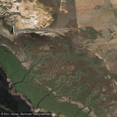
Light River Delta
- Saltwater
- Estuary
- Sq. miles
- 1.7
- Boat Ramps
- 0
- Access Points
- 0
- Species
- 1
The Light River Delta is a pristine estuary system located on the Adelaide Plains, flowing into Gulf St Vincent. It is widely recognized as one of the most ecologically intact mangrove and saltmarsh systems remaining in South Australia, forming a wetland of national importance. This estuarine environment, characterized by its expansive tidal flats, dense mangrove forests, and seagrass beds, provides critical habitat for a diverse range of marine life and offers unique angling opportunities within the sheltered waters of the delta and the adjacent nearshore areas of the marine park.
Species & education
Learn what type of fish are at Light River Delta and what's needed to catch them.

Find which waters have the species you want to catch

Mulloway
Argyrosomus japonicus
Fishing spots, boat ramps & amenities
Learn how to get on Light River Delta. Uncover great fishing access points, boat ramps, and all the facilities you need for an unforgettable day on the water. Some locations shown may border or include private property. Always check property boundaries and applicable regulations before visiting. onWater's Public & Private Land layer can help you plan your access with confidence.
Key fishing locations are defined by the estuary's structure. The deep channels winding through the mangrove forests are prime ambush points. The confluence areas where smaller creeks meet the main delta channel hold fish. The ebb-tide delta and seagrass beds at the mouth of the delta, visible as lighter-colored deposits on satellite imagery, are productive nearshore grounds. The edges of the extensive saltmarsh flats also attract foraging fish on high tides.
Know where you can legally fish on Light River Delta
See public and private land boundaries along the water, turn on private parcels with owner details to know where permission is required, and find land-trust parcels that offer permitted fishing access.
South Australia licenses and regulations

South Australia Boating Regulations
Official Marine Safety SA page on recreational boating rules, covering boat operator licensing, navigation rules, speed and waterway zones, and required safety equipment under the Harbors and Navigation Regulations 2009.

South Australia Fishing License
South Australia has no general recreational fishing licence - most recreational fishing is open without a permit or fee. Registration is only needed for specific cases (e.g. a registered net or rock lobster pot). This official PIRSA Fisheries Licensing page explains when registration applies.

South Australia Fishing Regulations
Official PIRSA recreational fishing rules covering size, bag, boat and possession limits for marine and freshwater species, applied per 24-hour period. See the page for current limits.

South Australia Stream Access Laws
South Australia has no dedicated recreational stream-access statute page; this is the closest official coverage - the Law Handbook SA Water chapter explaining the legal framework for watercourses, water access and adjoining land rights.
Take Light River Delta with you
The onWater Fish app keeps this water's access points, species and conditions in your pocket, with the tools you use once you're there.
Use the map without signal
Download the map around Light River Delta to use it offline when coverage drops.
Log your catches here
Keep a private fishing journal for Light River Delta to find where and when fish are biting for you.
Get the onWater Fish app
Free on iOS and Android
Tides, wind & water conditions (10 day forecast)
On open water, wind and tide matter as much as the weather. See the best times to fish Light River Delta and check the marine forecast before you launch.
Loading tide predictions…
Fishing near Light River Delta
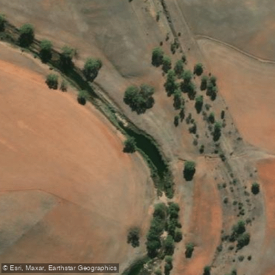
Light River
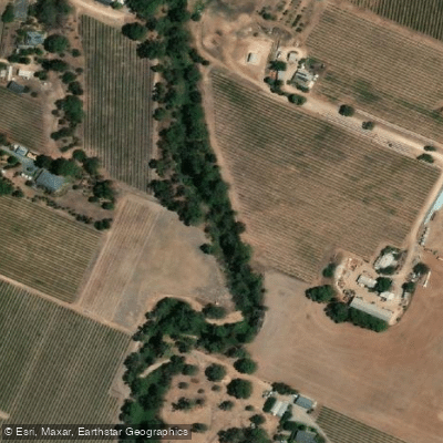
North Para River
Port River
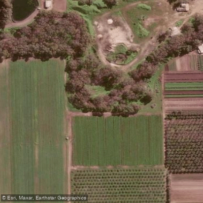
Gawler River
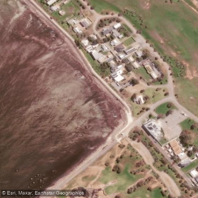
St Kilda Beach
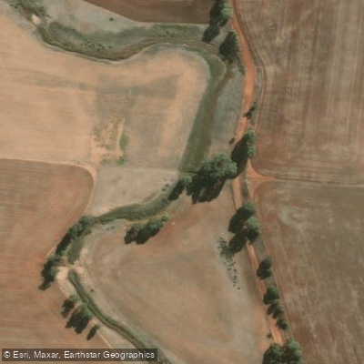
Gilbert River
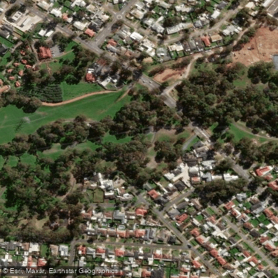
Little Para River
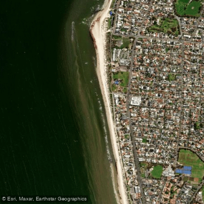
Semaphore Park Beach
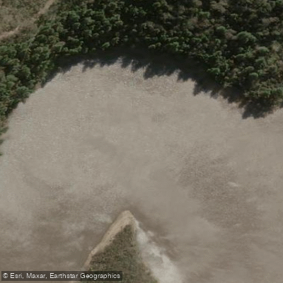
Onkaparinga River
Explore South Australia waters
Top fishing waters
No waters available right now.
Popular Cities
Loading popular cities...
Explore near Light River Delta
Fish species
Nearby waters
More in South Australia

Smarter Fishing Starts in the App.
onWater Fish gives you everything you need to plan smarter, fish better, and own every trip from first cast to last.