Hervey Bay
- Saltwater
- Estuary
Hervey Bay
- Saltwater
- Estuary
- Sq. miles
- 1,495
- Boat Ramps
- 11
- Access Points
- 9
- Species
- 22
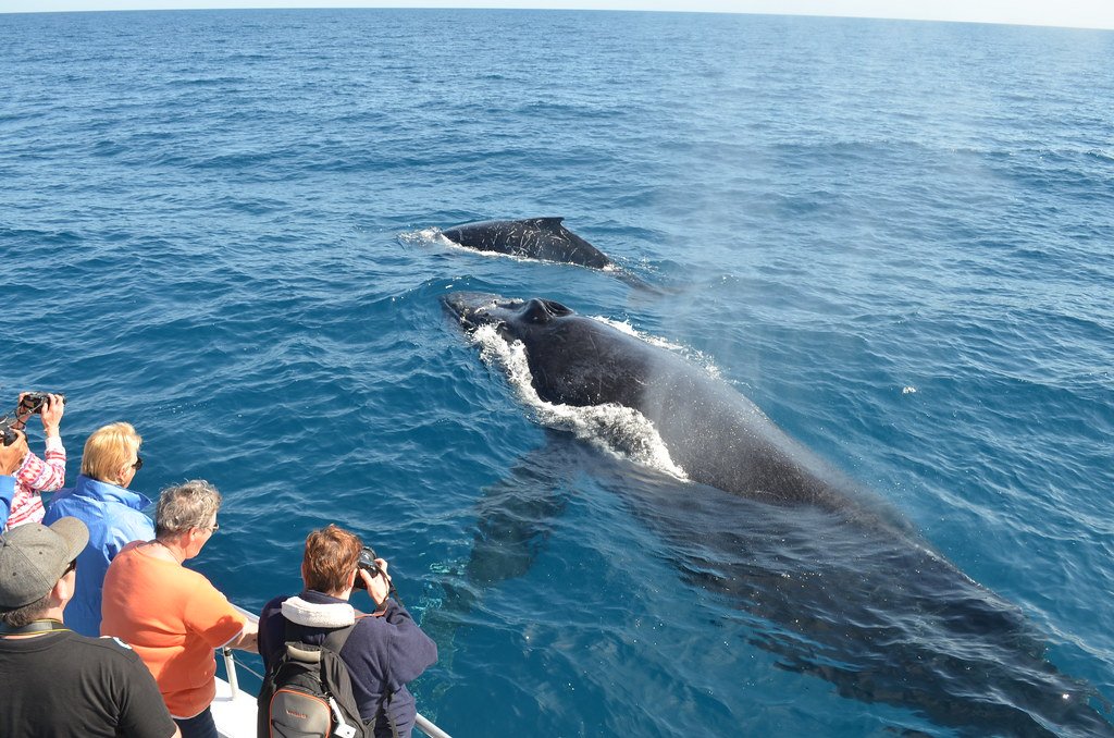
Hervey Bay is a vast, sheltered estuary covering approximately 4,000 square kilometers along the Queensland coast. It is protected from the open ocean swells of the Coral Sea by the southern extension of the Great Barrier Reef and by K'gari (Fraser Island) to the east, creating a unique marine environment of shallow bays, sheltered channels, and intricate straits. The bay's average depth is around 20 meters, with a maximum depth of about 30 meters. This combination of protection and varied bathymetry supports a rich ecosystem, making it a premier destination for both recreational and sport fishing. Parts of the bay are encompassed by the Great Sandy Marine Park.
Species & education
Learn what type of fish are at Hervey Bay and what's needed to catch them.

Find which waters have the species you want to catch

Australian Bonito
Sarda australis

Barramundi
Lates calcarifer

Barred Javelin
Pomadasys kaakan

Blue-threadfin
Eleutheronema tetradactylum

Cobia
Rachycentron canadum

Dusky Flathead
Platycephalus fuscus

Estuary Cod
Epinephelus coioides

Giant Trevally
Caranx ignobilis

Golden Trevally
Gnathanodon speciosus

King Threadfin
Polydactylus macrochir

Longtail Tuna
Thunnus tonggol

Mackerel Tuna
Euthynnus affinis

Mangrove Jack
Lutjanus argentimaculatus

Mulloway
Argyrosomus japonicus

Red Emperor
Lutjanus sebae

Sand Whiting
Sillago ciliata

Snapper
Pagrus auratus

Spotted Mackerel
Scomberomorus munroi

Tailor
Pomatomus saltatrix

Yellowfin Bream
Acanthopagrus australis

Yellowtail Kingfish
Seriola lalandi

Yellowtail Scad
Trachurus novaezelandiae
Fishing spots, boat ramps & amenities
Learn how to get on Hervey Bay. Uncover great fishing access points, boat ramps, and all the facilities you need for an unforgettable day on the water. Some locations shown may border or include private property. Always check property boundaries and applicable regulations before visiting. onWater's Public & Private Land layer can help you plan your access with confidence.
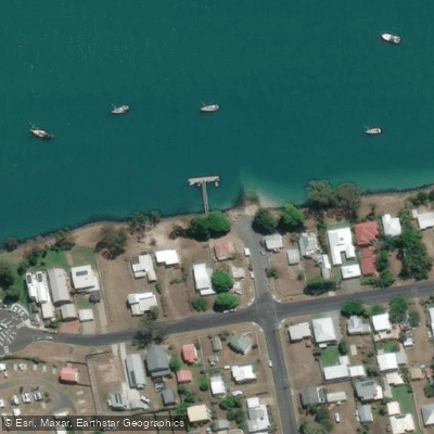
Burrum Heads
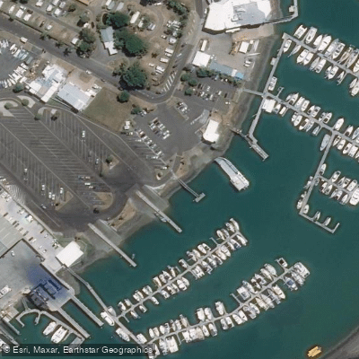
Burrum Heads
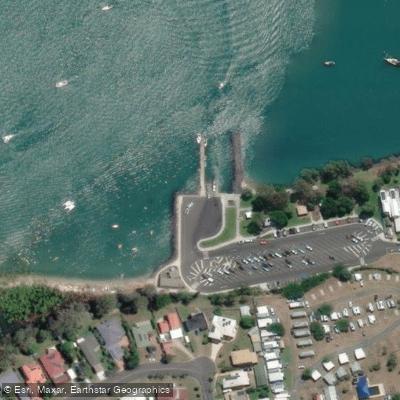
Burrum Heads, Riverview Drive
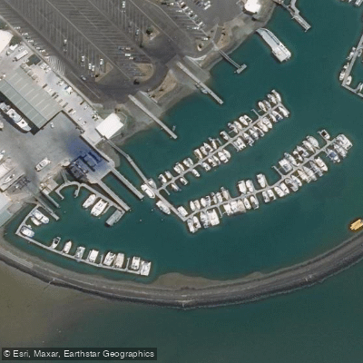
Fisherman'S Wharf Marina
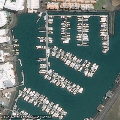
Great Sandy Strait Marina
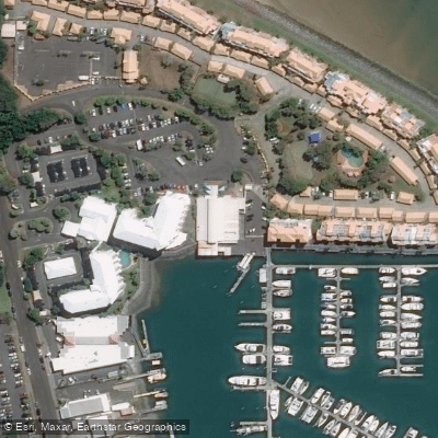
Great Sandy Straits Marina Tourist Terminal
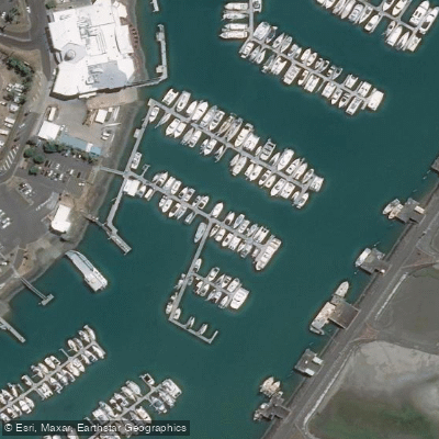
Hervey Bay Marina
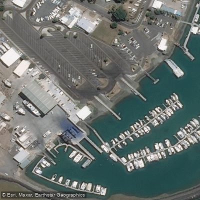
Urangan, Jetty Street
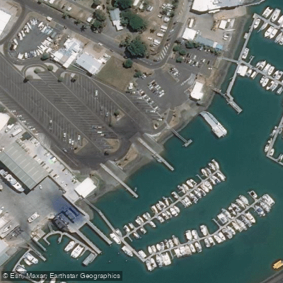
Urangan, Jetty Street
Know where you can legally fish on Hervey Bay
See public and private land boundaries along the water, turn on private parcels with owner details to know where permission is required, and find land-trust parcels that offer permitted fishing access.
Queensland licenses and regulations

Queensland Boating Regulations
Official Queensland Government boating and marine hub (Maritime Safety Queensland), covering recreational marine and PWC licences, boat registration, safety equipment, speed limits, and the general safety obligation.

Queensland Fishing License
Queensland has no general recreational fishing licence - most saltwater and freshwater fishing needs no licence. The exception is line fishing in stocked dams/weirs: anyone 18 or over needs a Stocked Impoundment Permit, which this official Fisheries Queensland page explains.

Queensland Fishing Regulations
Official Queensland Government recreational fishing rules hub, covering size and possession limits (tidal and fresh waters), closed seasons and waters, regulated and no-take species, and permitted gear.

Queensland Stream Access Laws
Queensland has no single dedicated stream-access page; this is the closest official page for anglers, listing which state-owned dams and weirs allow public recreational access for fishing, camping and boating, with per-site restrictions.
Take Hervey Bay with you
The onWater Fish app keeps this water's access points, species and conditions in your pocket, with the tools you use once you're there.
Use the map without signal
Download the map around Hervey Bay to use it offline when coverage drops.
Log your catches here
Keep a private fishing journal for Hervey Bay to find where and when fish are biting for you.
Get the onWater Fish app
Free on iOS and Android
Tides, wind & water conditions (10 day forecast)
On open water, wind and tide matter as much as the weather. See the best times to fish Hervey Bay and check the marine forecast before you launch.
Loading tide predictions…
Fishing near Hervey Bay
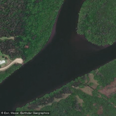
Maroochy River
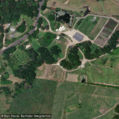
Eudlo Creek
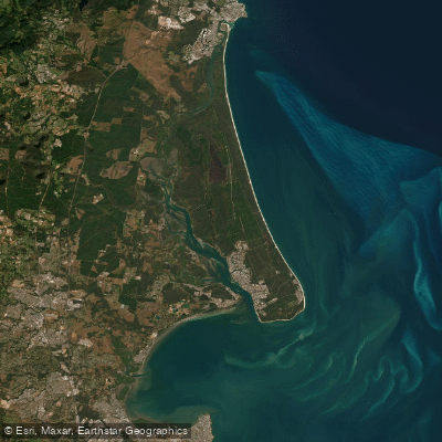
Pumicestone Passage
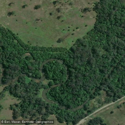
Mooloolah River
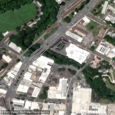
Petrie Creek

Moreton Bay
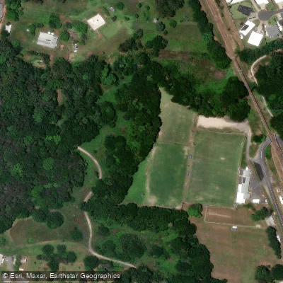
Paynter Creek
Mountain Creek
Yaroomba Beach
Obi Obi Creek
Explore Queensland waters
Top fishing waters
No waters available right now.
Popular Cities
Loading popular cities...
Explore near Hervey Bay
Fish species
Fishing spots
- Bargara Boat Ramp
- Bargara, Burkitt Street
- Burrum Heads, Burrum Heads Road
- Burrum Heads, Riverview Drive
- Burrum Heads, Ross Street
- Gatakers Bay, Corfield Street
- Point Vernon, Alpin Street
- Urangan Barge Ramp
- Urangan, Jetty Road (Ramp 1)
- Urangan, Jetty Road (Ramp 2)
- Woodgate, First Avenue
- Burrum Heads
- All 28 spots
Nearby waters
More in Queensland

Smarter Fishing Starts in the App.
onWater Fish gives you everything you need to plan smarter, fish better, and own every trip from first cast to last.