Diamantina River
Diamantina River
- Boat Ramps
- 0
- Access Points
- 0
- Species
- 2
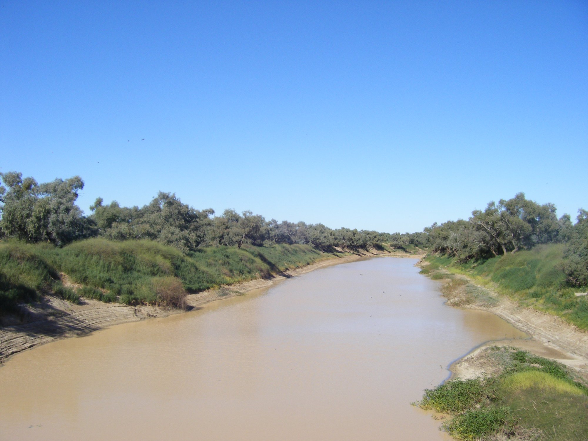
The Diamantina River is a remarkable and remote waterway stretching approximately 900 kilometres through the heart of Central West Queensland and into the far north of South Australia. Rising from the Swords Range west of Winton at an elevation of around 313 metres, the river flows southward through some of Australia's most iconic outback landscape — the Channel Country — before crossing the South Australian border and ultimately contributing to the Warburton River and the vast Kati Thanda-Lake Eyre basin, the lowest natural point on the continent at just 20 metres elevation. Named by explorer William Landsborough in 1866 in honour of Lady Diamantina Bowen, wife of Queensland's first Governor, the river drains a catchment of approximately 157,000 square kilometres. Unlike many rivers, the Diamantina does not follow a single well-defined main channel but instead spreads across a series of wide, relatively shallow channels — a characteristic of the Channel Country that makes it both fascinating and unpredictable for those venturing into this remote region.
Species & education
Learn what type of fish are at Diamantina River and what's needed to catch them.

Find which waters have the species you want to catch

Golden Perch
Macquaria ambigua

Hyrtl's Catfish
Neosilurus hyrtlii
Fishing spots, boat ramps & amenities
Learn how to get on Diamantina River. Uncover great fishing access points, boat ramps, and all the facilities you need for an unforgettable day on the water. Some locations shown may border or include private property. Always check property boundaries and applicable regulations before visiting. onWater's Public & Private Land layer can help you plan your access with confidence.
Know where you can legally fish on Diamantina River
See public and private land boundaries along the water, turn on private parcels with owner details to know where permission is required, and find land-trust parcels that offer permitted fishing access.
Queensland licenses and regulations

Queensland Boating Regulations
Official Queensland Government boating and marine hub (Maritime Safety Queensland), covering recreational marine and PWC licences, boat registration, safety equipment, speed limits, and the general safety obligation.

Queensland Fishing License
Queensland has no general recreational fishing licence - most saltwater and freshwater fishing needs no licence. The exception is line fishing in stocked dams/weirs: anyone 18 or over needs a Stocked Impoundment Permit, which this official Fisheries Queensland page explains.

Queensland Fishing Regulations
Official Queensland Government recreational fishing rules hub, covering size and possession limits (tidal and fresh waters), closed seasons and waters, regulated and no-take species, and permitted gear.

Queensland Stream Access Laws
Queensland has no single dedicated stream-access page; this is the closest official page for anglers, listing which state-owned dams and weirs allow public recreational access for fishing, camping and boating, with per-site restrictions.
Take Diamantina River with you
The onWater Fish app keeps this water's access points, species and conditions in your pocket, with the tools you use once you're there.
Use the map without signal
Download the map around Diamantina River to use it offline when coverage drops.
Log your catches here
Keep a private fishing journal for Diamantina River to find where and when fish are biting for you.
Get the onWater Fish app
Free on iOS and Android
Water and weather conditions (10 day forecast)
See the best times to fish Diamantina River and check the forecast before you go.
Diamantina River At Diamantina Lakes
All Flow Stations
Fishing near Diamantina River
Roe Creek
Todd River
Hugh River
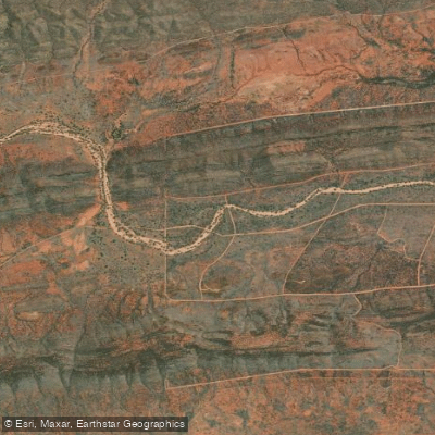
Laura Creek
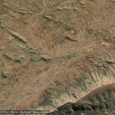
Wallaby Creek
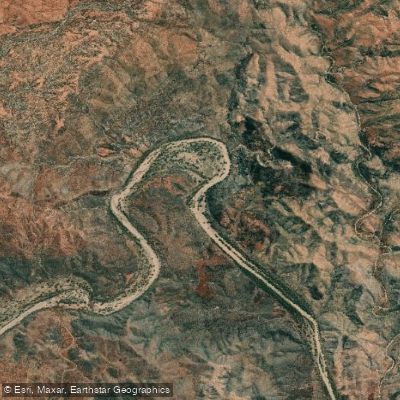
Hale River
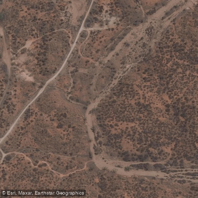
Charles River
Colyer Creek
Emily Creek
Jay Creek
Explore Queensland waters
Top fishing waters
No waters available right now.
Popular Cities
Loading popular cities...
Explore near Diamantina River
Fish species
Fishing spots
Nearby waters
More in Queensland

Smarter Fishing Starts in the App.
onWater Fish gives you everything you need to plan smarter, fish better, and own every trip from first cast to last.