Burrum River
- Saltwater
- Estuary
Burrum River
- Saltwater
- Estuary
- Sq. miles
- 25
- Boat Ramps
- 0
- Access Points
- 0
- Species
- 10
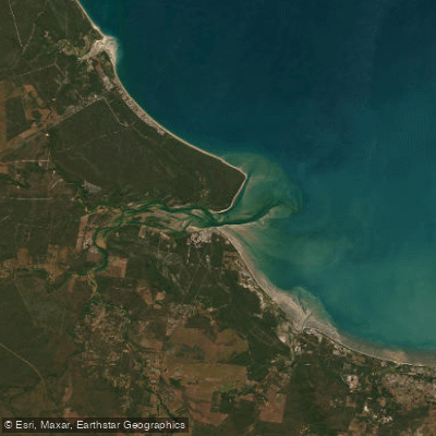
The Burrum River is a significant estuarine system on Queensland's Fraser Coast, flowing into the ocean at the fishing village of Burrum Heads. It is a tidal river renowned for its diverse and productive inshore fishery, protected within a declared Fish Habitat Area. The river and its tributaries, including the Cherwell, Gregory, and Isis rivers, feature extensive mangrove forests, saltmarsh, seagrass beds, and intertidal sand flats, creating an ideal nursery and feeding ground for a wide range of fish and crustaceans. The upper reaches are impounded by Lenthalls Dam, creating Lake Lenthall, a freshwater reservoir stocked with Australian bass and barramundi, but the primary fishery is the tidal, saltwater estuary leading to the ocean.
Species & education
Learn what type of fish are at Burrum River and what's needed to catch them.

Find which waters have the species you want to catch

Barramundi
Lates calcarifer

Coral Trout
Plectropomus leopardus

Dusky Flathead
Platycephalus fuscus

Estuary Cod
Epinephelus coioides

Golden Trevally
Gnathanodon speciosus

Mangrove Jack
Lutjanus argentimaculatus

Queenfish
Scomberoides commersonnianus

Sand Whiting
Sillago ciliata

Tailor
Pomatomus saltatrix

Yellowfin Bream
Acanthopagrus australis
Fishing spots, boat ramps & amenities
Learn how to get on Burrum River. Uncover great fishing access points, boat ramps, and all the facilities you need for an unforgettable day on the water. Some locations shown may border or include private property. Always check property boundaries and applicable regulations before visiting. onWater's Public & Private Land layer can help you plan your access with confidence.
Key areas include the river mouth at Burrum Heads, offering a mix of river and ocean fishing. Creek mouths and the confluences of tributaries with the main river are consistently productive, holding flathead, grunter, queenfish, and blue salmon. The extensive sand and mud flats throughout the system are prime areas for whiting, flathead, and bream, especially on a rising tide. Snags, fallen timber, and rock bars along the riverbanks are focal points for barramundi, mangrove jack, and estuary cod. The ocean reefs and shoals outside the river mouth, accessed by boat, provide habitat for coral trout, snapper, cod, and sweetlip.
Know where you can legally fish on Burrum River
See public and private land boundaries along the water, turn on private parcels with owner details to know where permission is required, and find land-trust parcels that offer permitted fishing access.
Queensland licenses and regulations

Queensland Boating Regulations
Official Queensland Government boating and marine hub (Maritime Safety Queensland), covering recreational marine and PWC licences, boat registration, safety equipment, speed limits, and the general safety obligation.

Queensland Fishing License
Queensland has no general recreational fishing licence - most saltwater and freshwater fishing needs no licence. The exception is line fishing in stocked dams/weirs: anyone 18 or over needs a Stocked Impoundment Permit, which this official Fisheries Queensland page explains.

Queensland Fishing Regulations
Official Queensland Government recreational fishing rules hub, covering size and possession limits (tidal and fresh waters), closed seasons and waters, regulated and no-take species, and permitted gear.

Queensland Stream Access Laws
Queensland has no single dedicated stream-access page; this is the closest official page for anglers, listing which state-owned dams and weirs allow public recreational access for fishing, camping and boating, with per-site restrictions.
Take Burrum River with you
The onWater Fish app keeps this water's access points, species and conditions in your pocket, with the tools you use once you're there.
Use the map without signal
Download the map around Burrum River to use it offline when coverage drops.
Log your catches here
Keep a private fishing journal for Burrum River to find where and when fish are biting for you.
Get the onWater Fish app
Free on iOS and Android
Tides, wind & water conditions (10 day forecast)
On open water, wind and tide matter as much as the weather. See the best times to fish Burrum River and check the marine forecast before you launch.
Loading tide predictions…
Fishing near Burrum River
Maroochy River
Eudlo Creek
Pumicestone Passage
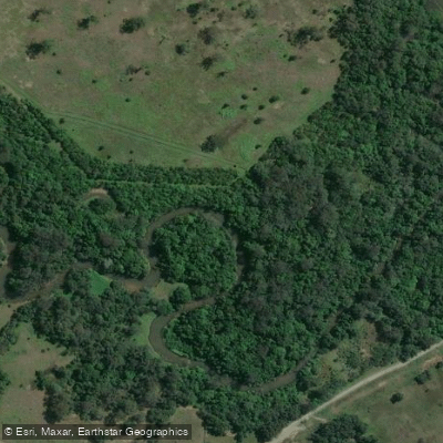
Mooloolah River

Petrie Creek

Moreton Bay
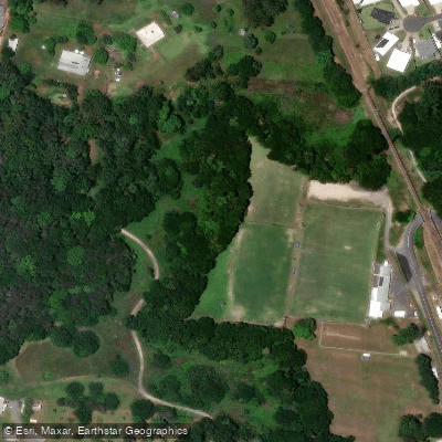
Paynter Creek
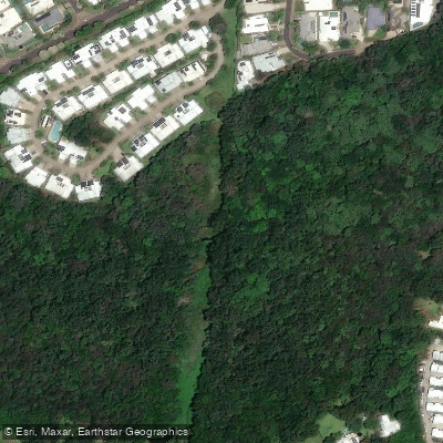
Mountain Creek
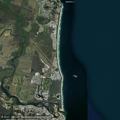
Yaroomba Beach
Obi Obi Creek
Explore Queensland waters
Top fishing waters
No waters available right now.
Popular Cities
Loading popular cities...
Explore near Burrum River
Fish species
Nearby waters
More in Queensland

Smarter Fishing Starts in the App.
onWater Fish gives you everything you need to plan smarter, fish better, and own every trip from first cast to last.