Townsville, Sir Leslie Thiess Drive (Downstream)
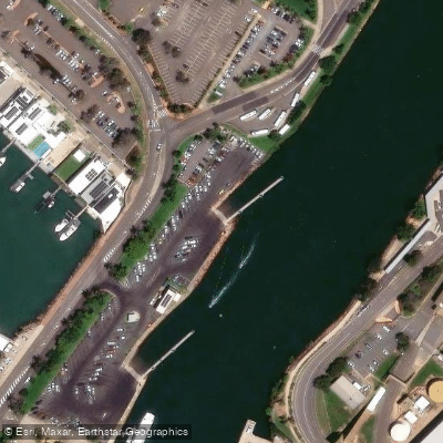
Townsville, Sir Leslie Thiess Drive (Downstream)
Located off Sir Leslie Thiess Drive in Townsville City, the downstream boat ramp provides access to Ross Creek and is one of two ramps at this site, the other being an upstream ramp. Both are managed by Port of Townsville Limited.
The downstream ramp features three lanes and a slope of 9 degrees, with a maximum load rating of 5 tonnes. A pontoon is available on site, along with toilets and a water tap.
Combined parking for cars with trailers across the Sir Leslie Thiess Drive facility accommodates up to 87 vehicles. GPS coordinates for the downstream ramp are 19. 25305° S, 146. 82719° E.
Nearby points of interest
Find excellent fishing spots, easy access to boat ramps, and all the amenities you need for a memorable day. Your adventure starts here.
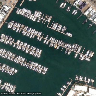
Breakwater Marina
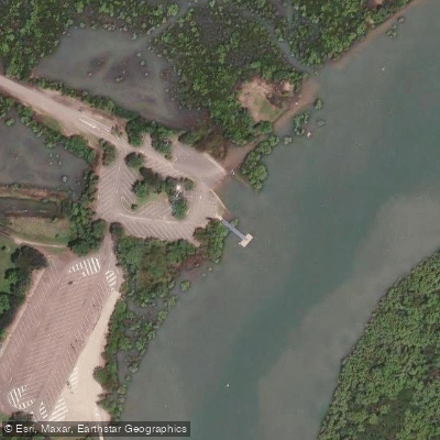
Railway Estate, Barnicle Street
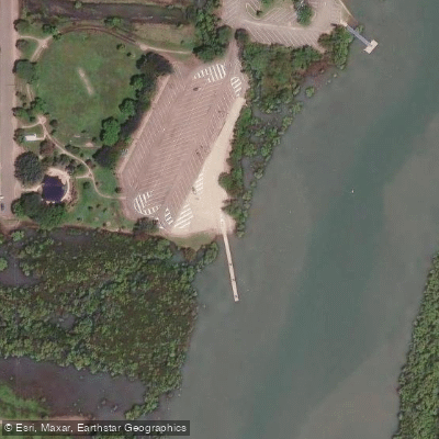
Railway Estate, Barnicle Street (Upstream)
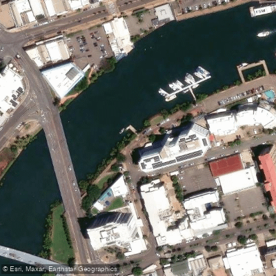
South Townsville, Dibbs Street
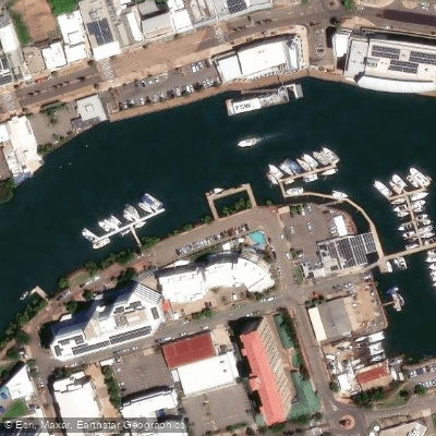
South Townsville, Plume St
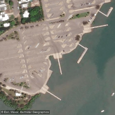
Townsville Recreational Boating Park
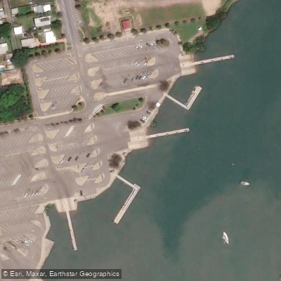
Townsville Recreational Boating Park
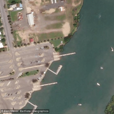
Townsville Recreational Boating Park
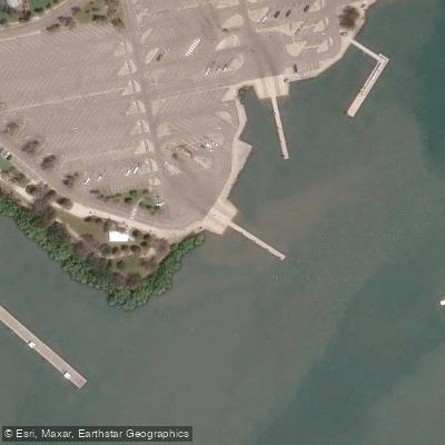
Townsville Recreational Boating Park
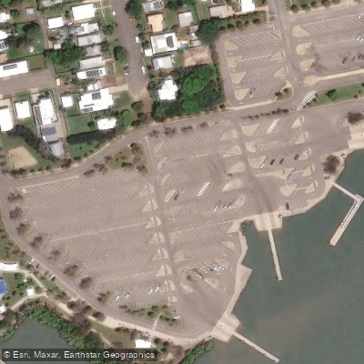
Townsville Recreational Boating Park
Water and weather conditions (10 day forecast)
Check the forecast at Townsville, Sir Leslie Thiess Drive (Downstream) before you go fishing.
No forecast data available.
Fishing near Townsville, Sir Leslie Thiess Drive (Downstream)
Ross River
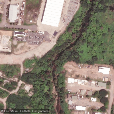
Stuart Creek
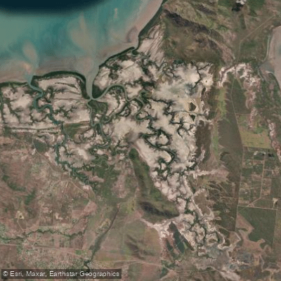
Crocodile Creek
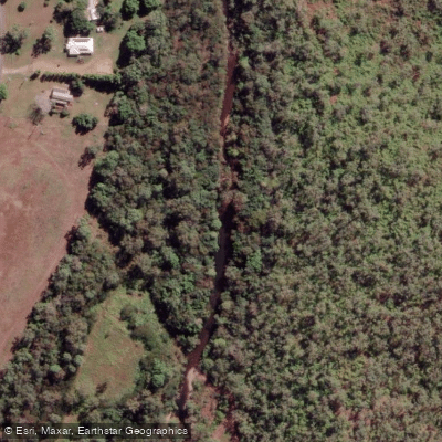
Alligator Creek
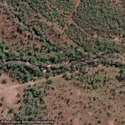
Major Creek
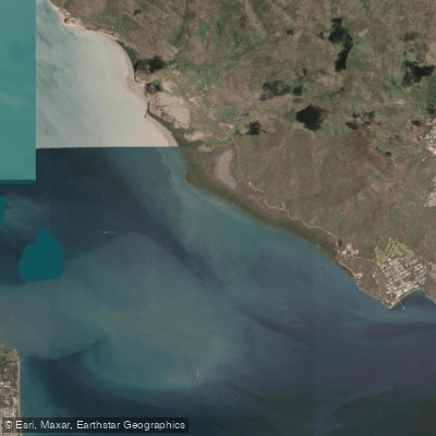
Cockle Bay Reef
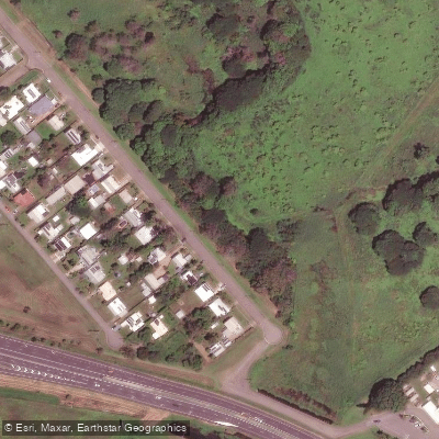
Gordon Creek
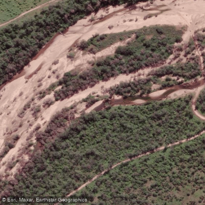
Haughton River
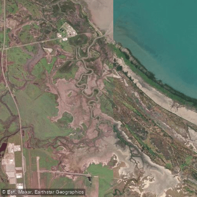
Sandfly Creek
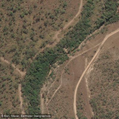
Leichhardt Creek
Queensland licenses and regulations
Explore Queensland waters
Top fishing waters
No waters available right now.
Popular Cities
Loading popular cities...
Explore near Townsville, Sir Leslie Thiess Drive (Downstream)
Nearby spots
- Pallarenda, Marlow Street
- Railway Estate, Barnicle Street (Downstream)
- Railway Estate, Barnicle Street (Upstream)
- Townsville Recreational Boating Park
- Townsville, Sir Leslie Thiess Drive (Upstream)
- Breakwater Marina
- Railway Estate, Barnicle Street
- South Townsville, Dibbs Street
- South Townsville, Plume St
- Townsville Recreational Boating Park (30 Metre)
- Townsville Recreational Boating Park (50 Metre)
Nearby waters
More in Queensland

Smarter Fishing Starts in the App.
onWater Fish gives you everything you need to plan smarter, fish better, and own every trip from first cast to last.