Fishing in Wallingat National Park
- National Park
- Lakes
- 0
- Rivers
- 13
- Access
- 0
- Boat Ramps
- 0
- Shops
- 0
- Species
- 12
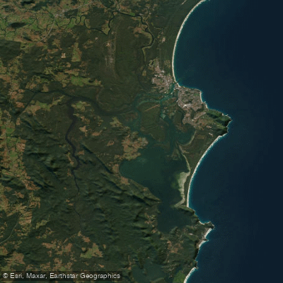
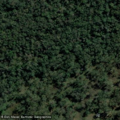
Wallingat National Park sits on the Mid North Coast of NSW, about 30 km south-west of Forster, bordered by Wallis Lake to the east and state forests on most other sides.
The park holds a mix of forest, swamp, and creek country, with the Wallingat River as its main waterway.
Access is via unsealed roads off The Lakes Way through Sugar Creek Road, Shallow Bay Road, and Thomas Road — manageable in a 2WD in dry conditions, but worth checking before you go in winter. The Wallingat River is the anchor.
There's a campground on the river, which puts you on the water without a long walk in. There is good fishing in both the river and the lake — Wallis Lake lies just beyond the park boundary and is closely tied to the system.
Along Double Wharf Road and Sugar Creek Road there are river fishing spots worth exploring, though car access to some of these is restricted, so expect to walk sections.
Sugar Creek runs through the park and has a picnic area — a reasonable base for working the creek on foot.
The network of dirt roads that cross the park passes near several of the smaller creeks in the system, and the swampy, forested terrain means many of these hold water year-round.
Swimming is a warm-weather activity alongside fishing, which points to the river running with enough depth and flow in the warmer months to be worth the trip.
The park sits close enough to the coast that the lower Wallingat system will have tidal influence, something to factor into your timing. Standard NSW fishing regulations apply.
Check with NSW National Parks and Wildlife Service before you go — access conditions on the unsealed roads change with the seasons, and some river access points require a walk once the tracks close to vehicles.
The egrets working the shallows along the river are usually a reliable sign that something is moving. Pay attention to them.
Top waters to fish near Wallingat National Park

Species & education
Learn what type of fish are in Wallingat National Park and what's needed to catch them.

Find which waters have the species you want to catch

Black Bream
Acanthopagrus butcheri

Dusky Flathead
Platycephalus fuscus

Eastern Blue Groper
Achoerodus viridis

Estuary Cod
Epinephelus coioides

Luderick
Girella tricuspidata

Rock Blackfish
Girella elevata

Sand Whiting
Sillago ciliata

School Whiting
Sillago flindersi

Sea Garfish
Hyporhamphus australis

Tailor
Pomatomus saltatrix

Tarwhine
Rhabdosargus sarba

Yellowfin Bream
Acanthopagrus australis
Water and weather conditions (10 day forecast)
See the best times to fish Wallingat National Park and check the forecast before you go.
No forecast data available.
Fish smarter with real-time insights
Whether you're en route and conditions shift or you're looking for the best spot based on current flows, we enable you to make informed decisions on the fly.




Fishing near Wallingat National Park
Loading...
Gateway towns
Where to base yourself for fishing in Wallingat National Park.
- ForsterNew South Wales
The main service town for the park, with lodging, supplies, and access to the park's unsealed road network.
- Seal RocksNew South Wales
Small coastal village on the park's eastern fringe, used as a base by visitors combining the park with beach access.
- Smiths LakeNew South Wales
The nearest named locality to the park, sitting close to the park boundary on the mid-North Coast.
Explore Wallingat National Park
Top fishing waters
Popular Cities
Loading popular cities...

Smarter Fishing Starts in the App.
onWater Fish gives you everything you need to plan smarter, fish better, and own every trip from first cast to last.