Fishing in Rinyirru (Lakefield) National Park (Cape York Peninsula Aboriginal Land)
- National Park
- Lakes
- 14
- Rivers
- 23
- Access
- 0
- Boat Ramps
- 0
- Shops
- 0
- Species
- 3
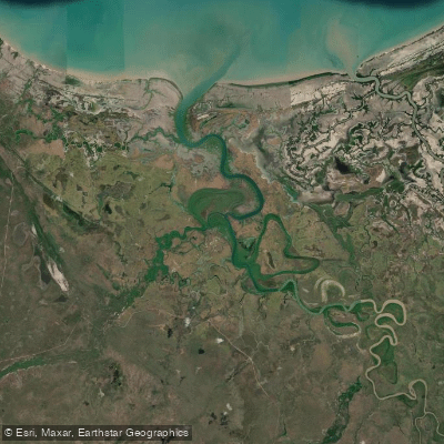
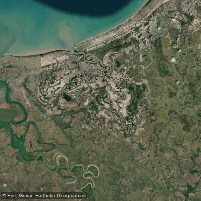
Rinyirru (Lakefield) National Park sits on the southern Cape York Peninsula, roughly 300 kilometres north of Cairns, spread across 537,000 hectares of river country draining toward Princess Charlotte Bay.
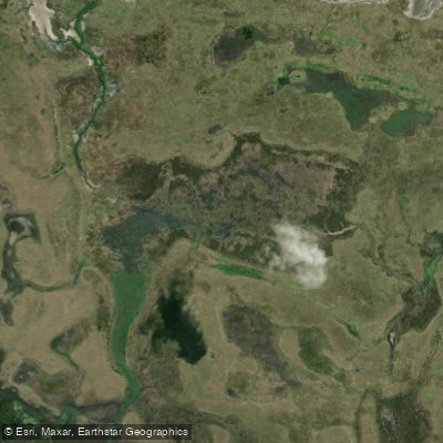
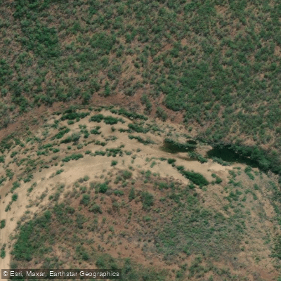
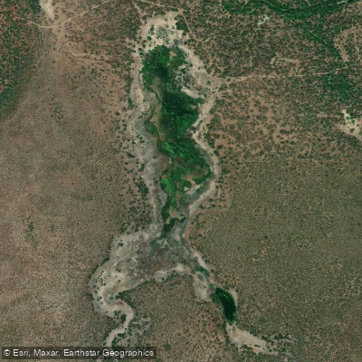
The park holds four major river systems along with lakes, billabongs, and seasonal wetlands — the kind of interconnected freshwater and estuarine landscape that defines fishing on the Cape.
The Normanby River, Morehead River, and North Kennedy River are the named anchors of the park's water network, with the Laura and Kennedy rivers also running through the country.
Barramundi are the primary target, and catfish are the other species most commonly caught at the camping grounds.
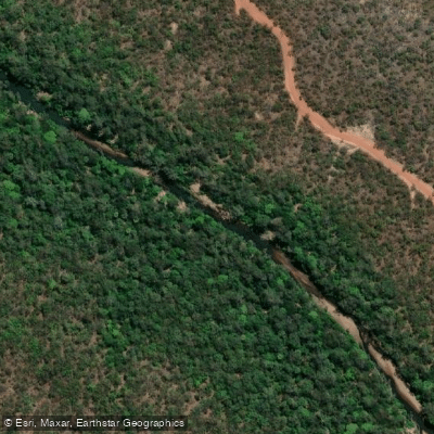
The estuaries in the north push into mangrove-lined tidal country before giving way to the woodlands and paperbark-fringed rivers further inland — two quite different environments within the same park boundary. Access is dry-season only.
Camping areas south of the Lakefield ranger base, including Kalpowar Crossing, are closed from 1 December to 31 May. Areas to the north — Hann Crossing, Annie River, and others — stay closed until 30 June.
Those dates shift with the wet season, and tracks can close after heavy rain well into the dry. Four-wheel drive is the practical minimum.
There are several entry routes: via Laura and the Peninsula Development Road, from Cooktown along Battle Camp Road, or from Coen via Musgrave Roadhouse. Boat hire is not available inside the park, but you can bring your own.
Camping requires advance registration through QPWS — online, by phone, or at a QPWS office. Check current park alerts before departure; a seasonal closure can be in place with on-the-spot fines for entry.
This is Country jointly managed by the Rinyirru Aboriginal Corporation and the Queensland Government on behalf of the Lama Lama, Kuku Thaypan, and related clan groups.
Fishing here happens within that context — remote, seasonal, and on someone's ancestral land. Treat it accordingly.
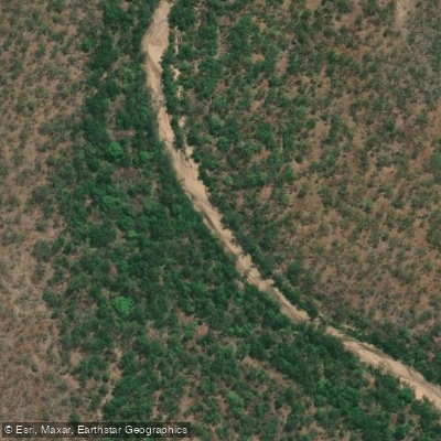
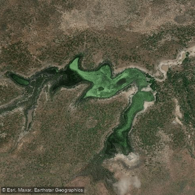
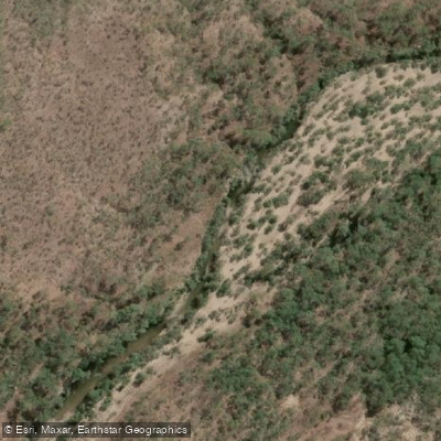
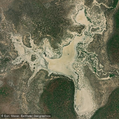
Top waters to fish near Rinyirru Lakefield National Park Cape York Peninsula Aboriginal Land
Species & education
Learn what type of fish are in Rinyirru (Lakefield) National Park (Cape York Peninsula Aboriginal Land) and what's needed to catch them.

Find which waters have the species you want to catch

Barramundi
Lates calcarifer

Giant Trevally
Caranx ignobilis

King Threadfin
Polydactylus macrochir
Water and weather conditions (10 day forecast)
See the best times to fish Rinyirru (Lakefield) National Park (Cape York Peninsula Aboriginal Land) and check the forecast before you go.
No forecast data available.
Fish smarter with real-time insights
Whether you're en route and conditions shift or you're looking for the best spot based on current flows, we enable you to make informed decisions on the fly.




Fishing near Rinyirru (Lakefield) National Park (Cape York Peninsula Aboriginal Land)
Loading...
Gateway towns
Where to base yourself for fishing in Rinyirru (Lakefield) National Park (Cape York Peninsula Aboriginal Land).
- LauraQueensland
Southern gateway town on the Peninsula Development Road, with the main access route into the park via Lakefield Road.
- CooktownQueensland
Eastern gateway with supplies, fuel, and services; visitors enter the park via Battle Camp Road from here.
- MusgraveQueensland
Northern access point via the Musgrave Roadhouse, serving travellers entering the park from the western side.
Explore Rinyirru (Lakefield) National Park (Cape York Peninsula Aboriginal Land)
Top fishing waters
Popular Cities
Loading popular cities...

Smarter Fishing Starts in the App.
onWater Fish gives you everything you need to plan smarter, fish better, and own every trip from first cast to last.