Fishing in Mary River National Park
- National Park
- Lakes
- 1
- Rivers
- 8
- Access
- 0
- Boat Ramps
- 3
- Shops
- 0
- Species
- 3
Mary River National Park sits in the coastal lowlands between Darwin and the western edge of Kakadu, about 110 kilometres east of the city.
The park is not a single block of country but 14 separate parcels covering 112,000 hectares of the Mary River catchment — a system of floodplains, billabongs, lagoons, paperbark swamps and tidal estuaries draining toward the Van Diemen Gulf.
The Mary itself rises near Pine Creek and runs 225 kilometres before losing itself in these wetlands, which rank among the most extensive freshwater swamplands in Australia.
The fishing here is shaped entirely by that seasonal rhythm: wet season floods, dry season contraction. Barramundi is the fish that draws people to this water.
The Mary River system holds a strong population, and the dry season — when the river shrinks back to pools and billabongs — concentrates fish and makes them accessible.
Shady Camp is the most established access point, with boat ramps, a barrage that holds back saltwater from the freshwater wetlands upstream, and a viewing platform that gives you a clear read on what you're fishing around: saltwater crocodiles are present in numbers throughout the system.
North Rockhole is another boat ramp access point on the Mary where barra fishing is well known. Both sites have camping. The seasonal character of the water matters practically.
During the wet, much of the park is inaccessible by road and the river floods wide across the floodplains. The dry season, roughly May through October, is when four-wheel drive access opens up and the fishing concentrates.
The park's 14 parcels are scattered, so access points are discrete — you're not moving freely between them without planning your route. Crocodiles are not incidental here.
The estuarine systems hold large saltwater crocodiles, and the park's wetlands are noted for some of the biggest individuals in the Top End.
That's not a reason to stay off the water, but it shapes how you fish — boat-based fishing is the sensible approach, and bank fishing requires serious attention to where you're standing and for how long.
The Mary River catchment also supports threatened sawfish species in its estuarine reaches. That's worth keeping in mind as part of how you handle and release fish in this system.
Check current rules with the park before you go — regulations specific to this water and its protected status apply, and they're worth confirming directly rather than assuming standard Northern Territory conditions cover everything.
Top waters to fish near Mary River National Park
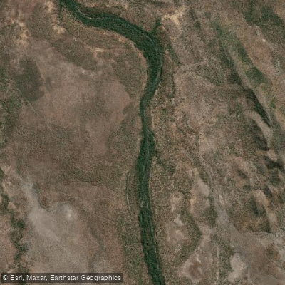
Mary River
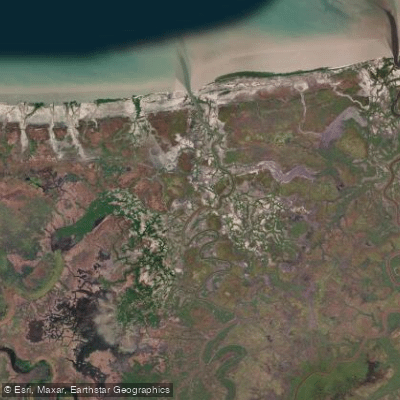
Tommycut Creek
Moon Billabong
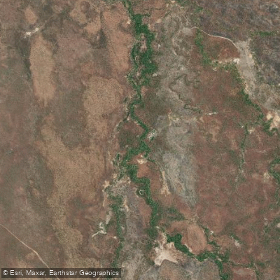
McKinlay River
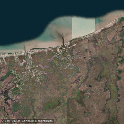
Sampan Creek
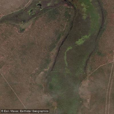
Swim Creek
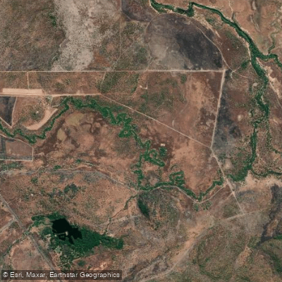
Mount Bundey Creek
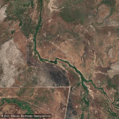
Hardies Creek
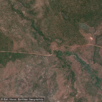
Soda Creek
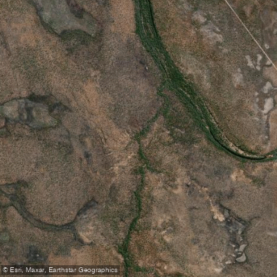
Douglas Creek
Species & education
Learn what type of fish are in Mary River National Park and what's needed to catch them.

Find which waters have the species you want to catch

Barramundi
Lates calcarifer

Blue-threadfin
Eleutheronema tetradactylum

King Threadfin
Polydactylus macrochir
Water and weather conditions (10 day forecast)
See the best times to fish Mary River National Park and check the forecast before you go.
No forecast data available.
Fish smarter with real-time insights
Whether you're en route and conditions shift or you're looking for the best spot based on current flows, we enable you to make informed decisions on the fly.




Fishing near Mary River National Park
Loading...
Gateway towns
Where to base yourself for fishing in Mary River National Park.
- Point StuartNorthern Territory
Point Stuart Wilderness Lodge sits inside the park and is the primary base for fishing, wildlife tours, and exploring the Mary River wetlands.
- MarrakaiNorthern Territory
Corroboree Park Tavern here offers accommodation, meals, and supplies for visitors heading into the Mary River floodplains.
Explore Mary River National Park
Top fishing waters
Popular Cities
Loading popular cities...

Smarter Fishing Starts in the App.
onWater Fish gives you everything you need to plan smarter, fish better, and own every trip from first cast to last.