Fishing in Hinchinbrook Island National Park
- National Park
- Lakes
- 0
- Rivers
- 27
- Access
- 0
- Boat Ramps
- 0
- Shops
- 0
- Species
- 15
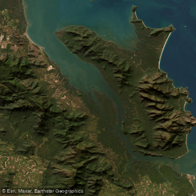
Hinchinbrook Island sits roughly halfway between Cairns and Townsville, separated from the Queensland mainland by the Hinchinbrook Channel.
It is Australia's largest island national park, and almost all of it — the mountain interior, the mangrove-lined shores, the tidal flats — falls within park boundaries.
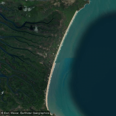
The fishing here is saltwater fishing: the channel, the estuaries, the bays, and the extensive mangrove systems that fringe the island's western side. Hinchinbrook Channel and Missionary Bay are the waters that draw most anglers.
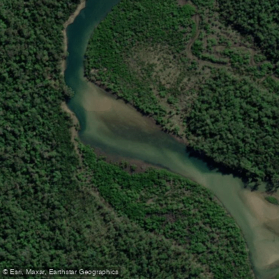
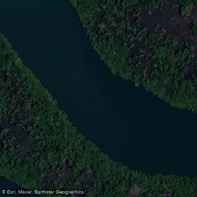
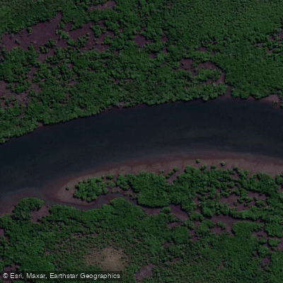
The channel runs between the island and the mainland, and its mangrove-lined banks and tidal current lines hold barramundi, mangrove jack, trevally, queenfish, king salmon, fingermark, grunter, and cod.
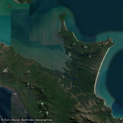
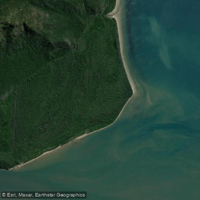
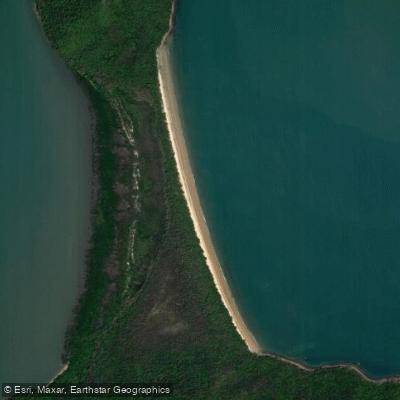
Missionary Bay, at the island's northern end, opens onto broad flats where permit — the snub-nosed dart — can be targeted with genuine expectation, one of the few places in Australia where that's true.
Work the dirty current lines and structure; technique shifts depending on whether you're throwing lures or bait.
Coral Creek, on the island's western side, is accessible by boat and cuts through dense mangroves — the kind of water where mangrove jacks hold tight to structure and barramundi move with the tide. Deluge Inlet offers similar country further along the coast.
One rule shapes everything here: fishing is prohibited in all freshwater streams, lagoons, and creeks within Hinchinbrook Island National Park.
That means the Seymour River, Zoe Creek, Fan Palm Creek, Waterfall Creek, and the other drainages that thread down from the island's peaks are off limits. The fishing is saltwater or it isn't happening.
Camping on the island, including along the Thorsborne Trail, requires a permit — contact Queensland Parks and Wildlife Service at qpws@des. qld. gov. au. The relative isolation keeps pressure lower than comparable tropical fisheries further north.
That shows in fish size. Come prepared for the access — most of this water is reached by boat from Cardwell, and the tides run the schedule.
Species & education
Learn what type of fish are in Hinchinbrook Island National Park and what's needed to catch them.

Find which waters have the species you want to catch

Barramundi
Lates calcarifer

Barred Javelin
Pomadasys kaakan

Blue-threadfin
Eleutheronema tetradactylum

Cobia
Rachycentron canadum

Coral Trout
Plectropomus leopardus

Estuary Cod
Epinephelus coioides

Fingermark
Lutjanus johnii

Giant Trevally
Caranx ignobilis

Golden Trevally
Gnathanodon speciosus

Mangrove Jack
Lutjanus argentimaculatus

Queenfish
Scomberoides commersonnianus

Red Emperor
Lutjanus sebae

Spangled Emperor
Lethrinus nebulosus

Tailor
Pomatomus saltatrix

King Threadfin
Polydactylus macrochir
Water and weather conditions (10 day forecast)
See the best times to fish Hinchinbrook Island National Park and check the forecast before you go.
No forecast data available.
Fish smarter with real-time insights
Whether you're en route and conditions shift or you're looking for the best spot based on current flows, we enable you to make informed decisions on the fly.




Fishing near Hinchinbrook Island National Park
Loading...
Gateway towns
Where to base yourself for fishing in Hinchinbrook Island National Park.
- CardwellQueensland
Main gateway town with ferry access to the island's northern trailhead and permit services for the Thorsborne Trail.
- LucindaQueensland
Southern access point for the island, used by hikers finishing or starting the Thorsborne Trail from the south end.
Explore Hinchinbrook Island National Park
Top fishing waters
Popular Cities
Loading popular cities...

Smarter Fishing Starts in the App.
onWater Fish gives you everything you need to plan smarter, fish better, and own every trip from first cast to last.