Fishing in Gheebulum Kunungai (Moreton Island) National Park
- National Park
- Lakes
- 1
- Rivers
- 4
- Access
- 0
- Boat Ramps
- 0
- Shops
- 0
- Species
- 15
Gheebulum Kunungai (Moreton Island) National Park sits in Moreton Bay, roughly 40 kilometres northeast of Brisbane. The island is a large sand mass — one of the largest sand islands in the world — and the park covers most of it.
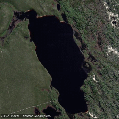
The surrounding bay and ocean waters are what draw anglers here, not rivers or impoundments. The island's interior lakes and streams are off-limits: fishing or collecting bait in lakes and streams within the park is not permitted.
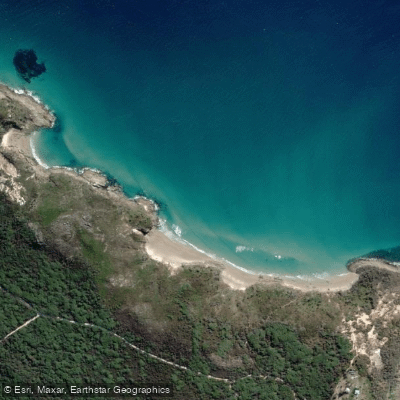
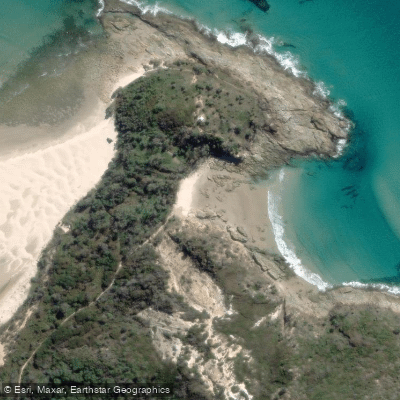
That restriction shapes how fishing works here. The action is coastal — beaches, gutters, and the waters immediately offshore. The eastern ocean beaches and the western bay-facing shores fish differently, and most anglers work them from the sand or by boat.
Access to the island requires a ferry or barge crossing from the mainland; if you're bringing a 4WD, you'll need to book vehicle passage, as the beaches serve as the main tracks.
Mirapool is designated a special protection zone and a marine national park zone — no fishing there. The stretch between Comboyuro Point and Tangalooma Point carries a specific restriction: no spearfishing in those waters.
These are Queensland Parks rules, and the zoning is part of the broader Moreton Bay Marine Park framework. Check current zoning maps at qld. gov. au/MBMPzoning before you go, as marine park zones govern what's permitted on the water around the island.
Camping permits are required for all campgrounds and camping zones within the national park and recreation area, and must be obtained before arrival through Queensland Parks.
The fishing here is tied to the rhythms of a bay and ocean environment — tides, seasons, and the health of a system that also supports humpback whales on their late-winter migration and resident dolphin populations.
That context is worth keeping in mind when you're working a gutter at dusk.
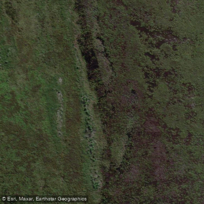
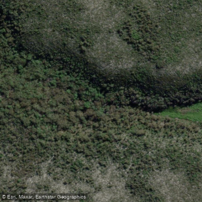
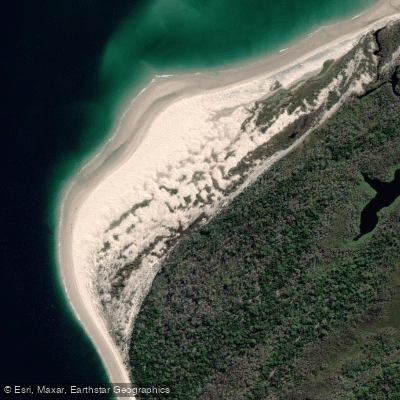
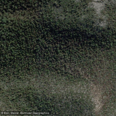
Top waters to fish near Gheebulum Kunungai Moreton Island National Park

Species & education
Learn what type of fish are in Gheebulum Kunungai (Moreton Island) National Park and what's needed to catch them.

Find which waters have the species you want to catch

Australian Bonito
Sarda australis

Barramundi
Lates calcarifer

Barred Javelin
Pomadasys kaakan

Bigeye Tuna
Thunnus obesus

Blue Mackerel
Scomber australasicus

Blue-threadfin
Eleutheronema tetradactylum

Bronze Whaler
Carcharhinus brachyurus

Cobia
Rachycentron canadum

Dusky Flathead
Platycephalus fuscus

Eastern Blue Groper
Achoerodus viridis

Estuary Cod
Epinephelus coioides

Giant Trevally
Caranx ignobilis

Golden Trevally
Gnathanodon speciosus

Greater Amberjack
Seriola dumerili

Gummy Shark
Mustelus antarcticus
Water and weather conditions (10 day forecast)
See the best times to fish Gheebulum Kunungai (Moreton Island) National Park and check the forecast before you go.
No forecast data available.
Fish smarter with real-time insights
Whether you're en route and conditions shift or you're looking for the best spot based on current flows, we enable you to make informed decisions on the fly.




Fishing near Gheebulum Kunungai (Moreton Island) National Park
Loading...
Gateway towns
Where to base yourself for fishing in Gheebulum Kunungai (Moreton Island) National Park.
- BrisbaneQLD
Main departure point for ferries and vehicle barges to the island, with all outfitters, gear and permits available.
- TangaloomaQLD
The island's primary resort settlement sits within the park and serves as the main hub for accommodation, tours and snorkelling.
- BulwerQLD
One of three small townships on the island, used as a base by campers and 4WD visitors exploring the northern end.
- KooringalQLD
Southern township on the island providing a base for visitors arriving by vehicle barge from the Port of Brisbane.
Explore Gheebulum Kunungai (Moreton Island) National Park
Top fishing waters
Popular Cities
Loading popular cities...

Smarter Fishing Starts in the App.
onWater Fish gives you everything you need to plan smarter, fish better, and own every trip from first cast to last.