Fishing in Eurobodalla National Park
- National Park
- Lakes
- 11
- Rivers
- 11
- Access
- 0
- Boat Ramps
- 3
- Shops
- 0
- Species
- 15
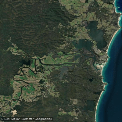
Eurobodalla National Park runs along the far south coast of New South Wales, stretching from Moruya Heads down to Mystery Bay. It's coastal country — a mix of beaches, headlands, heath, and a string of lakes and estuaries sitting behind the dunes.
The park's name translates from the local Brinja Yuin dialect as "Land of Many Waters," and that description holds up on the water as much as anywhere else. Lake Brou is the water most consistently mentioned for fishing inside the park.
It sits within the park boundary and draws anglers looking to drop a line in a quiet, sheltered setting. Flathead and whiting are the species associated with this kind of shallow coastal lake country — sand flats, nippers and worms, and patience.
A kayak or canoe extends your reach considerably on these lakes, getting you away from the bank and over the productive mid-lake shallows. Tuross Lake, at the southern end of the park's range, carries a strong reputation across the broader Eurobodalla region.
It's been described as a fishing haven, and summer sees flathead up to around 90cm taken here — large females that are worth handling carefully and releasing.
The same estuary-style fishing applies: whiting and bream over the flats, with surface lures producing results for flathead through the warmer months.
The park also takes in sections of coastline and creek systems — Congo Creek and others feed into the lake and estuary network — though the lakes are where most fishing attention falls. Standard NSW recreational fishing rules apply inside the park.
Check with NSW National Parks and Wildlife Service before you go, as conditions and any park-specific requirements can change. The fishing here rewards anglers who move quietly, read the water, and don't rush it.
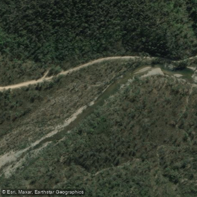
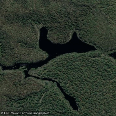
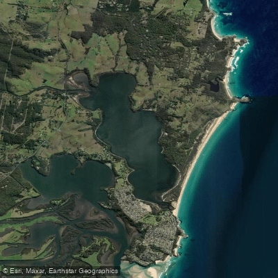
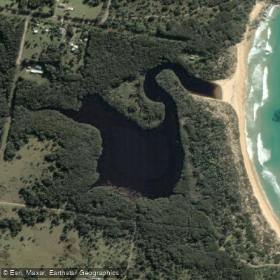
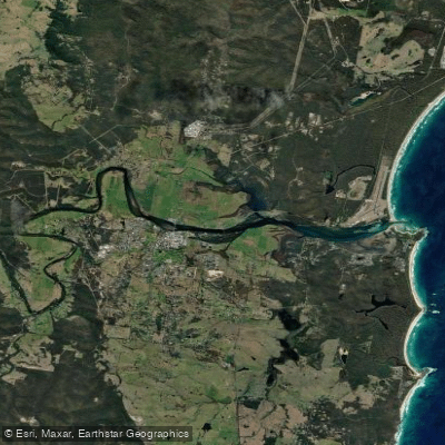
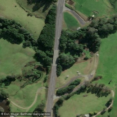
Top waters to fish near Eurobodalla National Park
Species & education
Learn what type of fish are in Eurobodalla National Park and what's needed to catch them.

Find which waters have the species you want to catch

Australian Grayling
Prototroctes maraena

Australian Longfin Eel
Anguilla reinhardtii

Australian Smelt
Retropinna semoni

Flathead Grey Mullet
Mugil cephalus

Puye
Galaxias maculatus

Short-finned Eel
Anguilla australis

Australian Salmon
Arripis trutta

Dusky Flathead
Platycephalus fuscus

Eastern Blue Groper
Achoerodus viridis

Luderick
Girella tricuspidata

Mulloway
Argyrosomus japonicus

Tailor
Pomatomus saltatrix

Yellowfin Bream
Acanthopagrus australis

Black Bream
Acanthopagrus butcheri

Rock Blackfish
Girella elevata
Water and weather conditions (10 day forecast)
See the best times to fish Eurobodalla National Park and check the forecast before you go.
No forecast data available.
Fish smarter with real-time insights
Whether you're en route and conditions shift or you're looking for the best spot based on current flows, we enable you to make informed decisions on the fly.




Fishing near Eurobodalla National Park
Loading...
Gateway towns
Where to base yourself for fishing in Eurobodalla National Park.
- NaroomaNew South Wales
Southern gateway town with accommodation, tours, and access to the Mystery Bay end of the park.
- MoruyaNew South Wales
Northern gateway sitting near Moruya Heads, the park's northern boundary, with services for visitors.
- Tuross HeadNew South Wales
Coastal town at the southern end of the Bingi Dreaming Track with beach access into the park.
- BodallaNew South Wales
Small historic town close to park entrances near Potato Point, used as a base for day visits.
Explore Eurobodalla National Park
Top fishing waters
Popular Cities
Loading popular cities...

Smarter Fishing Starts in the App.
onWater Fish gives you everything you need to plan smarter, fish better, and own every trip from first cast to last.