Fishing in D'Entrecasteaux National Park
- National Park
- Lakes
- 6
- Rivers
- 9
- Access
- 0
- Boat Ramps
- 1
- Shops
- 0
- Species
- 10
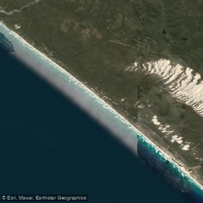
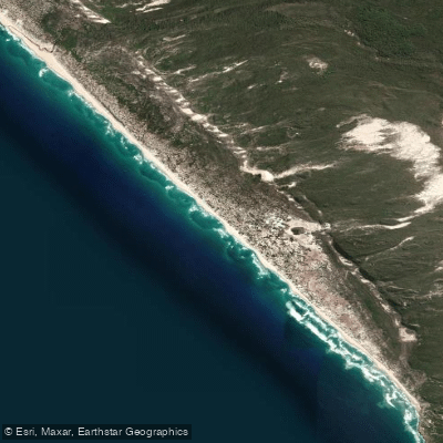
D'Entrecasteaux National Park runs for roughly 144 kilometres along the remote southwest coast of Western Australia, about 400 kilometres south of Perth.
The park holds a mix of coastal surf beach, river mouths, estuaries, and inland lakes — all of it backed by dense karri and marri forest.
Access to most of the fishing water requires a 4WD; some sections are only reachable by crossing the Gardner River, which can run well over two metres in winter and cut off access entirely. The surf beaches are the main draw for land-based anglers.
Australian salmon are the primary target, and the park's long stretches of remote beach — running east from Yeagarup Dunes toward Broke Inlet — see consistent runs. Tailor are also taken from the beach.
Getting to the better breaks means soft sand driving, and conditions change with the season. Broke Inlet sits at the eastern end of the park where the Donnelly River meets the coast.
The inlet and the lower Donnelly are worth attention; the rivers here wind through coastal marshes and cut through the dunes before reaching the ocean.
The Warren River also runs through the park and has been used as a canoeing route, which gives some sense of its character — a forest river working its way down through peppermint scrub and sand country.
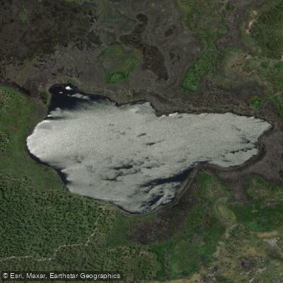
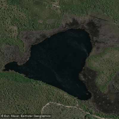
Lake Jasper lies within the park boundary and is noted in the area as a freshwater option. The Gardner River crossing near Chesapeake Road is both an access point and a fishable water in its own right.
Fishing in the park falls under Western Australia's standard recreational fishing rules.
Check current regulations with the Department of Biodiversity, Conservation and Attractions before you go — the park's remoteness means there's no easy way to sort out a compliance issue once you're in.
Fuel is available at Northcliffe, roughly 7 kilometres from the Chesapeake Road entry track, and at Windy Harbour. The distances here are real. A two-day run along the beach can cover 60 to 120 kilometres of 4WD track.
Plan accordingly, and check river levels before committing to any crossing.
Top waters to fish near D Entrecasteaux National Park
Species & education
Learn what type of fish are in D'Entrecasteaux National Park and what's needed to catch them.

Find which waters have the species you want to catch

Australian Herring
Arripis georgianus

Black Bream
Acanthopagrus butcheri

Blue Mackerel
Scomber australasicus

King George Whiting
Sillaginodes punctatus

Tarwhine
Rhabdosargus sarba

Western Australian Salmon
Arripis truttacea

Yellowfin Whiting
Sillago schomburgkii

Yellowtail Scad
Trachurus novaezelandiae

Western Minnow
Galaxias occidentalis

Australian Salmon
Arripis trutta
Water and weather conditions (10 day forecast)
See the best times to fish D'Entrecasteaux National Park and check the forecast before you go.
No forecast data available.
Fish smarter with real-time insights
Whether you're en route and conditions shift or you're looking for the best spot based on current flows, we enable you to make informed decisions on the fly.




Fishing near D'Entrecasteaux National Park
Loading...
Gateway towns
Where to base yourself for fishing in D'Entrecasteaux National Park.
- NorthcliffeWestern Australia
Closest town to the park with the nearest access point to Point d'Entrecasteaux and the park's coastal trails.
- PembertonWestern Australia
Nearby service town used as a base for visiting the park, with accommodation and supplies for visitors.
Explore D'Entrecasteaux National Park
Top fishing waters
Popular Cities
Loading popular cities...

Smarter Fishing Starts in the App.
onWater Fish gives you everything you need to plan smarter, fish better, and own every trip from first cast to last.