Fishing in Cape Melville National Park (Cape York Peninsula Aboriginal Land)
- National Park
- Lakes
- 0
- Rivers
- 13
- Access
- 0
- Boat Ramps
- 0
- Shops
- 0
Cape Melville National Park sits on the eastern edge of Cape York Peninsula, where the Coral Sea meets a coast of granite headlands, boulder fields, and long sandy bays.
The park stretches roughly 70 kilometres from the Jeannie River in the south northward to Bathurst Bay, taking in tidal creeks, estuarine systems, and open beach frontage along the way.
Getting here means a serious 4WD commitment — access is dry season only, May to November, either via Starcke Homestead about 225 kilometres north of Cooktown, or through Lakefield National Park and Kalpowar Aboriginal lands.
Fishing is allowed in all rivers and creeks within the park, and standard Queensland fisheries regulations apply.
Bathurst Bay sits within the Great Barrier Reef Marine Park, and limited fishing is permitted in the Conservation Park yellow zone — check current zoning at gbrmpa. gov. au before you wet a line offshore.
Camping permits are required and available from the self-registration shelter at Lakefield ranger station. The Jeannie River anchors the southern boundary and is the first significant water many anglers encounter on the approach.
Bathurst Bay's beach frontage — including the Nookai day-use area, which covers about 4 kilometres of coast between the Crocodile and Wongai camping areas — is the focal point for beach fishing.
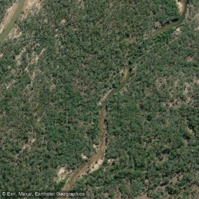
Tidal creeks punctuate the bay: Dead Dog Creek sits to the west of the main beach access, and a small jungle-clad freshwater stream runs east of it, contracting back as the dry season advances.
Barramundi Creek, Saltwater Creek, and the other named drainages feeding the bay all fish as tidal and estuarine systems in the early dry, becoming progressively shallower by season's end. Estuarine crocodiles are present throughout the coastal waterways.
That's not a footnote — it shapes where and how you fish here. Wade carefully, never clean fish at the water's edge, and treat every tidal creek with the same awareness you'd bring to any croc country on Cape York. This is not a park you visit on a whim.
Self-sufficiency is the baseline, not a suggestion. The reward for the effort is a stretch of coast that sees very few people and fishes accordingly.
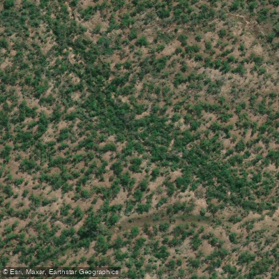
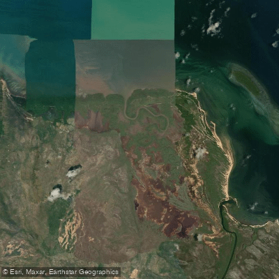
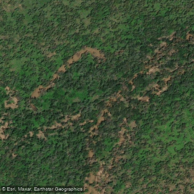
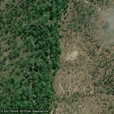
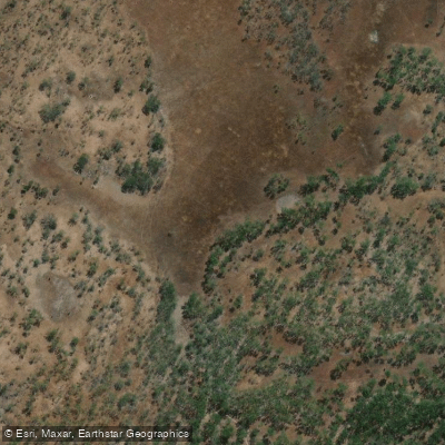
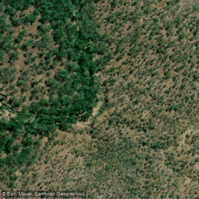
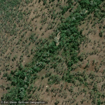
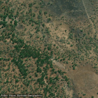
Top waters to fish near Cape Melville National Park Cape York Peninsula Aboriginal Land
Species & education
Learn what type of fish are in Cape Melville National Park (Cape York Peninsula Aboriginal Land) and what's needed to catch them.
No species information available.
Water and weather conditions (10 day forecast)
See the best times to fish Cape Melville National Park (Cape York Peninsula Aboriginal Land) and check the forecast before you go.
No forecast data available.
Fish smarter with real-time insights
Whether you're en route and conditions shift or you're looking for the best spot based on current flows, we enable you to make informed decisions on the fly.




Fishing near Cape Melville National Park (Cape York Peninsula Aboriginal Land)
Loading...
Gateway towns
Where to base yourself for fishing in Cape Melville National Park (Cape York Peninsula Aboriginal Land).
- CooktownQueensland
Nearest town to the park and the last major stop for supplies, fuel, and trip planning before the remote 4WD access route.
Explore Cape Melville National Park (Cape York Peninsula Aboriginal Land)
Top fishing waters
Popular Cities
Loading popular cities...

Smarter Fishing Starts in the App.
onWater Fish gives you everything you need to plan smarter, fish better, and own every trip from first cast to last.