Darwin River Dam
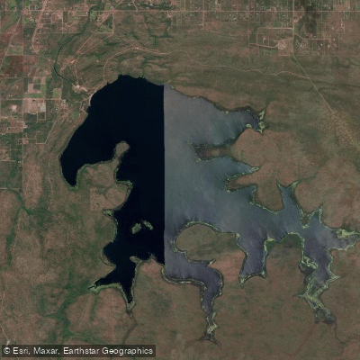
Darwin River Dam
- Boat Ramps
- 0
- Access Points
- 0
- Species
- 0
Darwin River Dam is an earth- and rock-filled embankment dam spanning the Darwin River in the Northern Territory of Australia, located in the Darwin River settlement approximately south of the city of Darwin. Completed on 29 June 1972 at a construction cost of A$9 million, the dam was built primarily to supply potable water for Darwin and remains operational today under the management of PowerWater. The dam wall stands 27 metres (89 ft) high and stretches 560 metres (1,840 ft) in length, impounding a substantial reservoir drawn from a catchment area of 205 square kilometres (79 sq mi). At full capacity, the reservoir holds an impressive 265,500 megalitres and covers a surface area of 4,000 hectares (9,900 acres), making it eleven times larger than the nearby Manton Dam — a scale that speaks to the significant fishable water this impoundment once offered.
Species & education
Learn what type of fish are at Darwin River Dam and what's needed to catch them.
No species information available.
Fishing spots, boat ramps & amenities
Learn how to get on Darwin River Dam. Uncover great fishing access points, boat ramps, and all the facilities you need for an unforgettable day on the water. Some locations shown may border or include private property. Always check property boundaries and applicable regulations before visiting. onWater's Public & Private Land layer can help you plan your access with confidence.
Know where you can legally fish on Darwin River Dam
See public and private land boundaries along the water, turn on private parcels with owner details to know where permission is required, and find land-trust parcels that offer permitted fishing access.
Northern Territory licenses and regulations

Northern Territory Boating Regulations
Official NT recreational boating safety guide. Boats need no registration and operators need no licence, but must follow the Marine Act 1981 and Marine (General) Regulations 2013, including minimum safety-equipment requirements.

Northern Territory Fishing License
The Northern Territory does not require a recreational fishing licence - fishing is licence-free, and no recreational boat licence is needed either. This official NT Fisheries page confirms no licence is required and outlines the rules that still apply.

Northern Territory Fishing Regulations
Official NT page setting recreational possession limits, including a general personal possession limit, separate limits for exempt species, and per-vessel limits. See the page for current numbers.

Northern Territory Stream Access Laws
NT has no single generic stream-access statute; the major access consideration is that much of the NT's intertidal waters overlie Aboriginal land. Permission is required to enter intertidal waters over Aboriginal land, and recreational fishers must register (via the Northern Land Council) to access some waters.
Take Darwin River Dam with you
The onWater Fish app keeps this water's access points, species and conditions in your pocket, with the tools you use once you're there.
Use the map without signal
Download the map around Darwin River Dam to use it offline when coverage drops.
Log your catches here
Keep a private fishing journal for Darwin River Dam to find where and when fish are biting for you.
HD depth charts from Garmin
Find drop offs, ledges, channels, points and shallow flats with Garmin depth charts in the app.
Get the onWater Fish app
Free on iOS and Android
Water and weather conditions (10 day forecast)
See the best times to fish Darwin River Dam and check the forecast before you go.
Darwin River Dam - Intake Tower
All Flow Stations
Fishing near Darwin River Dam
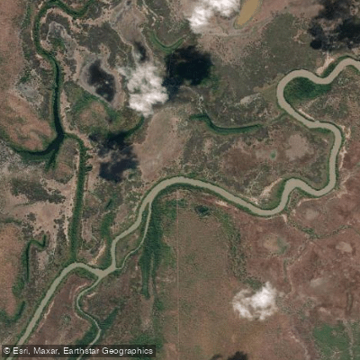
Adelaide River
Howard River
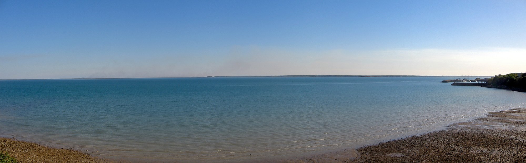
Darwin Harbour
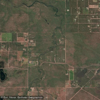
Darwin River
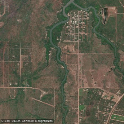
Blackmore River
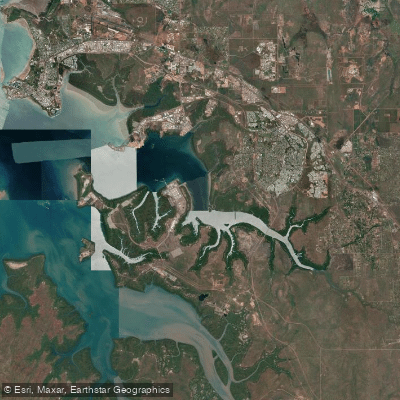
East Arm
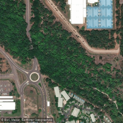
Rapid Creek
Hope Inlet
Mary River
Explore Northern Territory waters
Top fishing waters
No waters available right now.
Popular Cities
Loading popular cities...
Explore near Darwin River Dam
Nearby waters
More in Northern Territory

Smarter Fishing Starts in the App.
onWater Fish gives you everything you need to plan smarter, fish better, and own every trip from first cast to last.