Lake Burragorang
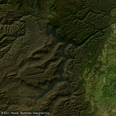
Lake Burragorang
- Boat Ramps
- 0
- Access Points
- 0
- Species
- 1
Lake Burragorang is one of Australia's most significant and strictly protected water bodies, serving as the primary drinking water reservoir for the city of Sydney. Formed by Warragamba Dam — a massive concrete structure standing 142 metres tall and 351 metres long — the lake stretches 52 kilometres in length and encompasses 75 square kilometres of surface area. Nestled within the Blue Mountains region of New South Wales, the lake sits at the heart of a 9,051 square kilometre catchment that receives an average annual rainfall of 840 millimetres. Despite its impressive size and the remarkable fishery it contains, Lake Burragorang is entirely closed to public access and fishing, making it one of the most strictly restricted catchment areas in the world.
Species & education
Learn what type of fish are at Lake Burragorang and what's needed to catch them.

Find which waters have the species you want to catch

Australian Smelt
Retropinna semoni
Fishing spots, boat ramps & amenities
Learn how to get on Lake Burragorang. Uncover great fishing access points, boat ramps, and all the facilities you need for an unforgettable day on the water. Some locations shown may border or include private property. Always check property boundaries and applicable regulations before visiting. onWater's Public & Private Land layer can help you plan your access with confidence.
Know where you can legally fish on Lake Burragorang
See public and private land boundaries along the water, turn on private parcels with owner details to know where permission is required, and find land-trust parcels that offer permitted fishing access.
New South Wales licenses and regulations

New South Wales Boating Regulations
Official Transport for NSW (NSW Maritime) hub for safety and rules on NSW waterways, including the Boating Handbook, lifejacket and safety-equipment requirements, and navigation and speed rules.

New South Wales Fishing License
Official Service NSW page for the NSW recreational fishing fee/licence. Anyone fishing NSW waters (fresh or salt) must pay the recreational fishing fee and carry the receipt unless exempt. See the page for current fees and exemptions.

New South Wales Fishing Regulations
Official NSW DPIRD Fisheries hub for recreational fishing rules, covering saltwater and freshwater bag and size limits, possession limits, gear rules and closures.

New South Wales Stream Access Laws
Official NSW DPIRD Fisheries Angler Access page - NSW's closest equivalent to a stream-access page. Explains the public right to fish tidal waters, legal stream access via public land, and that crossing private land needs the owner's permission.
Take Lake Burragorang with you
The onWater Fish app keeps this water's access points, species and conditions in your pocket, with the tools you use once you're there.
Use the map without signal
Download the map around Lake Burragorang to use it offline when coverage drops.
Log your catches here
Keep a private fishing journal for Lake Burragorang to find where and when fish are biting for you.
HD depth charts from Garmin
Find drop offs, ledges, channels, points and shallow flats with Garmin depth charts in the app.
Get the onWater Fish app
Free on iOS and Android
Water and weather conditions (10 day forecast)
See the best times to fish Lake Burragorang and check the forecast before you go.
Warragamba Dam Wall
All Flow Stations
Fishing near Lake Burragorang
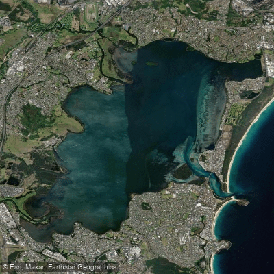
Lake Illawarra
Cordeaux River
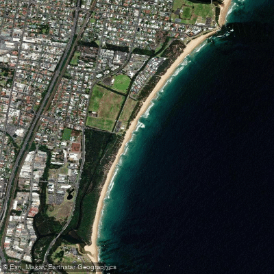
Towradgi Beach
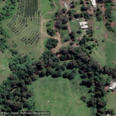
Macquarie Rivulet

Georges River
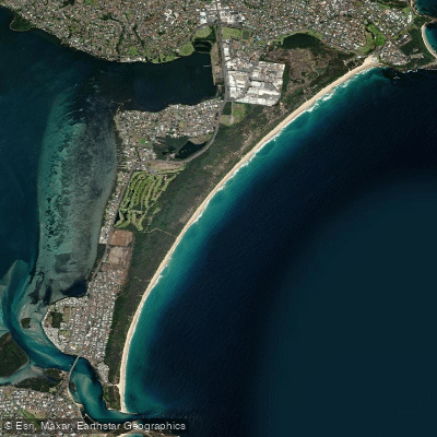
Perkins Beach
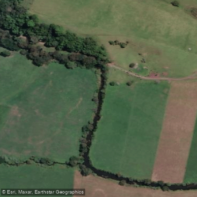
Minnamurra River
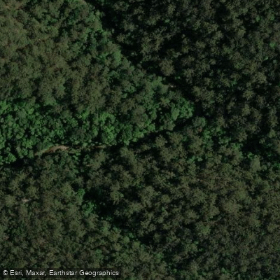
Hacking River
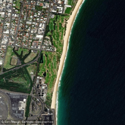
Coniston Beach
Wallandoola Creek
Explore New South Wales waters
Top fishing waters
No waters available right now.
Popular Cities
Loading popular cities...
Explore near Lake Burragorang
Fish species
Nearby waters
More in New South Wales

Smarter Fishing Starts in the App.
onWater Fish gives you everything you need to plan smarter, fish better, and own every trip from first cast to last.