Copmanhurst Boat Ramp
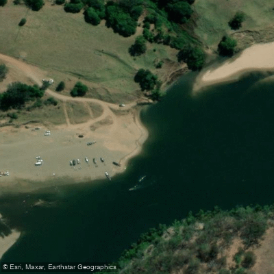
Copmanhurst Boat Ramp
Copmanhurst Boat Ramp sits on the Clarence River in Copmanhurst, New South Wales, roughly 30 minutes northwest of Grafton.
It marks the uppermost practical limit for motorised boating on the Clarence — rapids upstream make further progress by boat impossible — and serves as the downstream terminus of the Clarence Canoe & Kayak Trail, the longest mapped whitewater trail in Australia at over 195 kilometres.
The ramp is adjacent to the Copmanhurst Recreation Reserve and is a popular spot for fishing, kayaking, and swimming. A small free campground occupies the site, with level sites in the main area and additional spots on river pebbles accessible to 4WD vehicles.
The area is dog friendly and managed by the NSW Department of Land. The township itself is only a short walk from the ramp.
Nearby points of interest
Find excellent fishing spots, easy access to boat ramps, and all the amenities you need for a memorable day. Your adventure starts here.
Water and weather conditions (10 day forecast)
Check the forecast at Copmanhurst Boat Ramp before you go fishing.
No forecast data available.
Fishing near Copmanhurst Boat Ramp
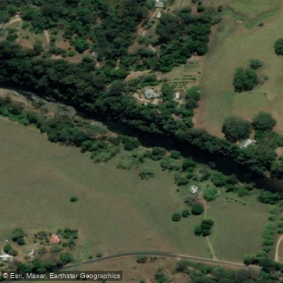
Orara River
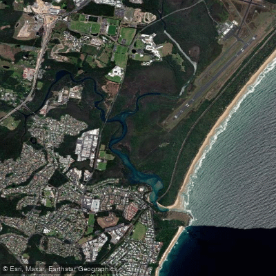
Bellinger River
Boambee Creek
Bobo River
Kalang River
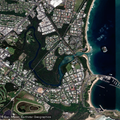
Coffs Harbour Creek
Urumbilum River
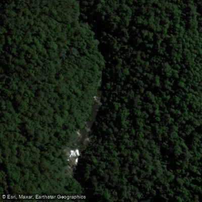
Little Nymboida River
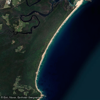
Bonville
Bonville Creek
New South Wales licenses and regulations
Explore New South Wales waters
Top fishing waters
No waters available right now.
Popular Cities
Loading popular cities...
Explore near Copmanhurst Boat Ramp

Smarter Fishing Starts in the App.
onWater Fish gives you everything you need to plan smarter, fish better, and own every trip from first cast to last.