Embalse Río Hondo
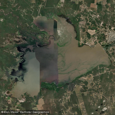
Embalse Río Hondo
- Boat Ramps
- 0
- Access Points
- 0
- Species
- 0
Embalse Río Hondo is a sprawling reservoir nestled on the border between the provinces of Santiago del Estero and Tucumán in northwestern Argentina, with the lake's surface divided nearly equally between the two provinces. Created by the Dique Frontal dam, inaugurated on September 27, 1967, the reservoir covers approximately 33,000 hectares (330 square kilometers) of water surface, making it one of the largest reservoirs in the region. Located just 5 kilometers from the center of the resort town of Termas de Río Hondo and roughly 87 kilometers from Tucumán, the embalse is fed by rivers descending from the Aconquija Mountains and serves multiple purposes including flood control, irrigation, hydroelectric generation, and sport fishing. The warm, mild climate — with an average temperature of 20°C — and the reservoir's rich fish population have made it a premier destination for sport fishing and nautical activities in northwestern Argentina. The ideal travel window for visiting the area runs from March through November.
Species & education
Learn what type of fish are at Embalse Río Hondo and what's needed to catch them.
No species information available.
Fishing spots, boat ramps & amenities
Learn how to get on Embalse Río Hondo. Uncover great fishing access points, boat ramps, and all the facilities you need for an unforgettable day on the water. Some locations shown may border or include private property. Always check property boundaries and applicable regulations before visiting. onWater's Public & Private Land layer can help you plan your access with confidence.
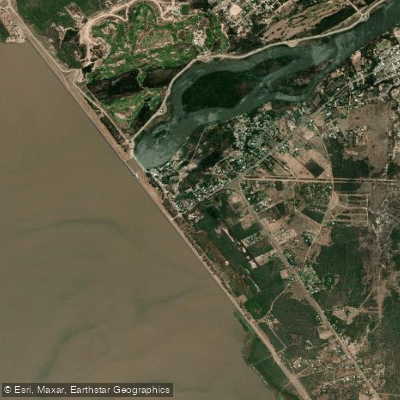
Know where you can legally fish on Embalse Río Hondo
See public and private land boundaries along the water, turn on private parcels with owner details to know where permission is required, and find land-trust parcels that offer permitted fishing access.
Santiago Del Estero licenses and regulations

Santiago del Estero Boating Regulations
Boating in Argentina is regulated nationally by the Prefectura Naval Argentina, not by the province - covering recreational-vessel registration, the boat-operator licence (habilitacion nautica), and navigation safety.

Santiago del Estero Fishing License
Official Carnet de Pesca page of the Direccion General de Bosques y Fauna (DGByF): how to obtain or renew the provincial recreational fishing licence.

Santiago del Estero Fishing Regulations
Santiago del Estero has no separate online reglamento page; the DGByF licence page is the official touchpoint. Season, species quotas, and catch-and-release rules are issued by DGByF as seasonal notices.
Take Embalse Río Hondo with you
The onWater Fish app keeps this water's access points, species and conditions in your pocket, with the tools you use once you're there.
Use the map without signal
Download the map around Embalse Río Hondo to use it offline when coverage drops.
Log your catches here
Keep a private fishing journal for Embalse Río Hondo to find where and when fish are biting for you.
HD depth charts from Garmin
Find drop offs, ledges, channels, points and shallow flats with Garmin depth charts in the app.
Get the onWater Fish app
Free on iOS and Android
Water and weather conditions (10 day forecast)
See the best times to fish Embalse Río Hondo and check the forecast before you go.
No forecast data available.
Fishing near Embalse Río Hondo
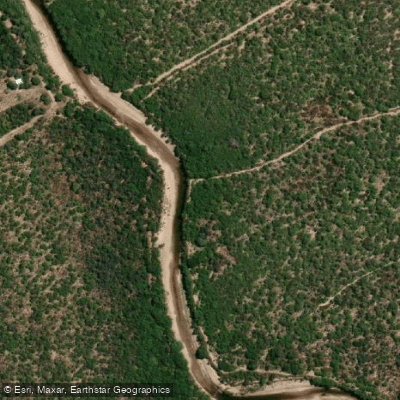
Río Dulce
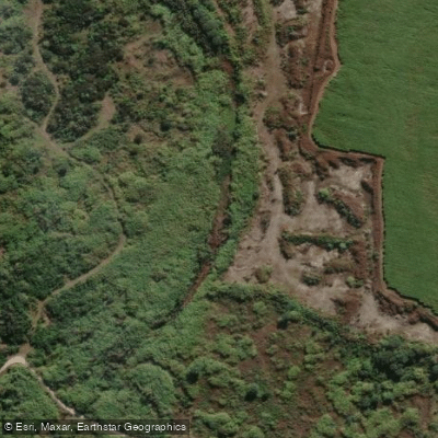
Río Salí
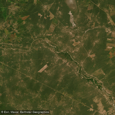
Embalse Los Quiroga
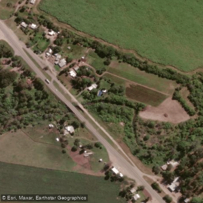
Arroyo Mista
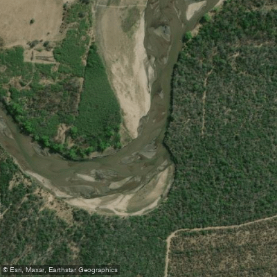
Río Marapa
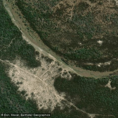
Arroyo El Chileno
Arroyo Pampa Mayo
Río Medinas
Arroyo del Estero
Explore Santiago Del Estero waters
Top fishing waters
No waters available right now.
Popular Cities
Loading popular cities...
Explore near Embalse Río Hondo
Fishing spots
Nearby waters
More in Santiago Del Estero

Smarter Fishing Starts in the App.
onWater Fish gives you everything you need to plan smarter, fish better, and own every trip from first cast to last.