Embalse Dique de Ullum
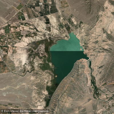
Embalse Dique de Ullum
- Boat Ramps
- 1
- Access Points
- 0
- Species
- 0
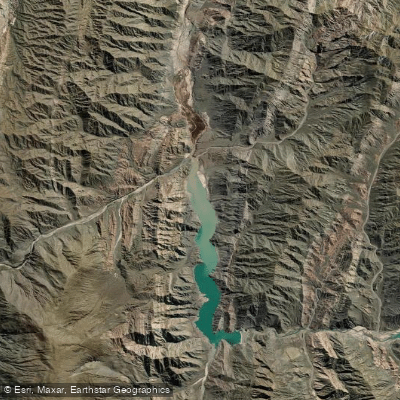
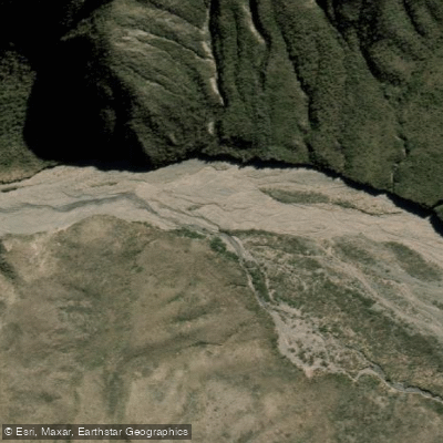
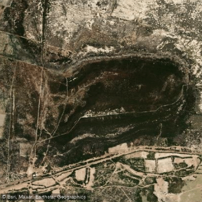
Embalse Dique de Ullum is a striking reservoir nestled in the Quebrada de Ullum canyon, approximately 18–20 kilometers west of the city of San Juan in the Cuyo region of Argentina. Formed by the Quebrada de Ullúm Dam — an earth and rock-fill embankment dam completed in 1980 on the Río San Juan — the reservoir sits at an elevation of 768 meters above sea level and covers a surface area of 32 square kilometers. With a total storage capacity of 440 million cubic meters, an average depth of 15 meters, and a maximum depth of 40 meters, this is a substantial body of water set against a dramatic backdrop of arid canyon walls and semi-desert terrain. The dam serves multiple purposes: regulating irrigation water for the 800 km² Valle del Tulum agricultural zone, supplying drinking water to the greater San Juan metropolitan area, and powering the Ullúm hydroelectric station. Over the decades, the reservoir has evolved into one of the province's premier recreational destinations, drawing anglers, water sports enthusiasts, and hikers to its shores year-round.
Species & education
Learn what type of fish are at Embalse Dique de Ullum and what's needed to catch them.
No species information available.
Fishing spots, boat ramps & amenities
Learn how to get on Embalse Dique de Ullum. Uncover great fishing access points, boat ramps, and all the facilities you need for an unforgettable day on the water. Some locations shown may border or include private property. Always check property boundaries and applicable regulations before visiting. onWater's Public & Private Land layer can help you plan your access with confidence.
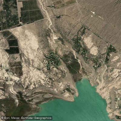
Know where you can legally fish on Embalse Dique de Ullum
See public and private land boundaries along the water, turn on private parcels with owner details to know where permission is required, and find land-trust parcels that offer permitted fishing access.
San Juan licenses and regulations

San Juan Boating Regulations
Boating in Argentina is regulated nationally by the Prefectura Naval Argentina, not by the province - covering recreational-vessel registration, the boat-operator licence (habilitacion nautica), and navigation safety.

San Juan Fishing License
Official Gobierno de San Juan online procedure for the sport-fishing permit, issued digitally through the Ciudadano Digital (CiDi) platform.

San Juan Fishing Regulations
Official San Juan page announcing the open sport-fishing season: permitted species, extraction limits, and the authorized reservoirs (diques) and watercourses.

San Juan Stream Access Laws
No distinct stream-access page; access rights follow the national Civil Code. The official provincial fishing-season page is the closest source.
Take Embalse Dique de Ullum with you
The onWater Fish app keeps this water's access points, species and conditions in your pocket, with the tools you use once you're there.
Use the map without signal
Download the map around Embalse Dique de Ullum to use it offline when coverage drops.
Log your catches here
Keep a private fishing journal for Embalse Dique de Ullum to find where and when fish are biting for you.
HD depth charts from Garmin
Find drop offs, ledges, channels, points and shallow flats with Garmin depth charts in the app.
Get the onWater Fish app
Free on iOS and Android
Water and weather conditions (10 day forecast)
See the best times to fish Embalse Dique de Ullum and check the forecast before you go.
No forecast data available.
Fishing near Embalse Dique de Ullum
Explore San Juan waters
Top fishing waters
No waters available right now.
Popular Cities
Loading popular cities...
Explore near Embalse Dique de Ullum

Smarter Fishing Starts in the App.
onWater Fish gives you everything you need to plan smarter, fish better, and own every trip from first cast to last.