Río de las Conchas
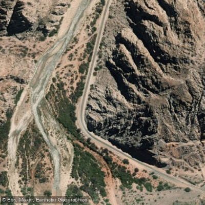
Río de las Conchas
- Boat Ramps
- 0
- Access Points
- 0
- Species
- 0
The Río de las Conchas, also known as the Río Guachipas, flows through one of the most visually stunning corridors in northwestern Argentina — the Quebrada de las Conchas, a dramatic canyon stretching approximately 80 kilometers through the province of Salta. The river carves its way through ancient sedimentary formations of red and orange rock, sculpted over millions of years by water and wind erosion. National Route 68 follows the canyon along its entire length, connecting the provincial capital of Salta to the town of Cafayate roughly 190 kilometers away, making the river corridor highly accessible to visiting anglers. The surrounding landscape is defined by towering canyon walls, colorful geological formations, and a riparian environment shaped by the river's persistent erosive force. The Quebrada de las Conchas is recognized as a protected natural area — the Área Protegida Quebrada de las Conchas — and serves as a key natural corridor linking Salta's capital with the Valles Calchaquíes and the broader Andean region. It is one of Salta's most visited natural destinations, drawing significant tourist traffic throughout the year.
Species & education
Learn what type of fish are at Río de las Conchas and what's needed to catch them.
No species information available.
Fishing spots, boat ramps & amenities
Learn how to get on Río de las Conchas. Uncover great fishing access points, boat ramps, and all the facilities you need for an unforgettable day on the water. Some locations shown may border or include private property. Always check property boundaries and applicable regulations before visiting. onWater's Public & Private Land layer can help you plan your access with confidence.
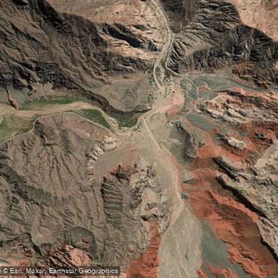
Know where you can legally fish on Río de las Conchas
See public and private land boundaries along the water, turn on private parcels with owner details to know where permission is required, and find land-trust parcels that offer permitted fishing access.
Salta licenses and regulations

Salta Boating Regulations
Boating in Argentina is regulated nationally by the Prefectura Naval Argentina, not by the province - covering recreational-vessel registration, the boat-operator licence (habilitacion nautica), and navigation safety.

Salta Fishing License
Official page of Salta's Ministerio de Produccion y Mineria for the sport-fishing permit (personal and non-transferable), listing categories, pricing and required documentation.

Salta Fishing Regulations
Official Salta notice for the current sport-fishing regulation: authorized locations and dates, permitted species, sizes and catch limits, and allowed gear.

Salta Stream Access Laws
No distinct stream-access page; access rights follow the national Civil Code. The official provincial permit page is the closest authoritative source.
Take Río de las Conchas with you
The onWater Fish app keeps this water's access points, species and conditions in your pocket, with the tools you use once you're there.
Use the map without signal
Download the map around Río de las Conchas to use it offline when coverage drops.
Log your catches here
Keep a private fishing journal for Río de las Conchas to find where and when fish are biting for you.
Get the onWater Fish app
Free on iOS and Android
Water and weather conditions (10 day forecast)
See the best times to fish Río de las Conchas and check the forecast before you go.
No forecast data available.
Fishing near Río de las Conchas
Río Salí
Río La Candelaria
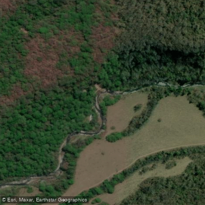
Río Chulca
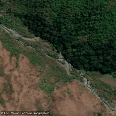
Río Rearte
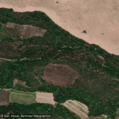
Río Tapia
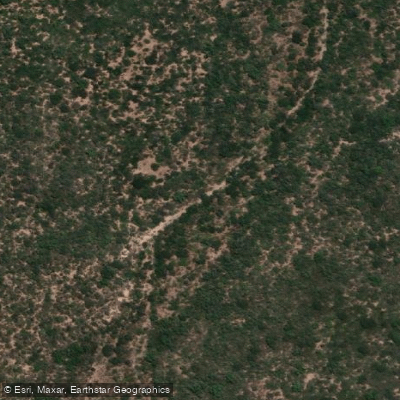
Río India Muerta
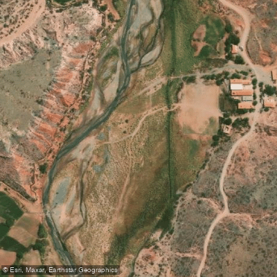
Río Calchaquí
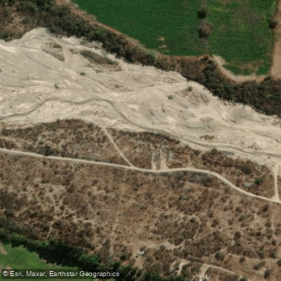
Río Choromoro o Alurralde
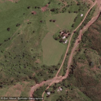
Río Grande de los Sauces
Río Medina
Explore Salta waters
Top fishing waters
No waters available right now.
Popular Cities
Loading popular cities...
Explore near Río de las Conchas

Smarter Fishing Starts in the App.
onWater Fish gives you everything you need to plan smarter, fish better, and own every trip from first cast to last.