Bahía de San Antonio
- Saltwater
- Bay
Bahía de San Antonio
- Saltwater
- Bay
- Sq. miles
- 41
- Boat Ramps
- 0
- Access Points
- 0
- Species
- 1
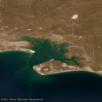
Bahía de San Antonio is a large, protected bay on the northern Patagonian coast within the Golfo San Matías in Río Negro Province, Argentina. This expansive coastal ecosystem features a diverse mosaic of habitats including sandy beaches, shell beaches, extensive sandbanks, and a vast intertidal marsh system. At low tide, the bay exposes a complex network of espartillar-crab beds and large sandy plains crisscrossed by tidal channels that drain into the sea. The surrounding terrestrial landscape is a shrubby steppe. The area is a designated Protected Natural Area, encompassing populated centers like Puerto de San Antonio Este, San Antonio Oeste, and the tourist town of Las Grutas. It is a region of significant ecological importance, supporting a rich array of marine life, birds, and mammals, while also sustaining a historical artisanal fishing tradition.
Species & education
Learn what type of fish are at Bahía de San Antonio and what's needed to catch them.

Find which waters have the species you want to catch

South American Silver Porgy
Diplodus argenteus
Fishing spots, boat ramps & amenities
Learn how to get on Bahía de San Antonio. Uncover great fishing access points, boat ramps, and all the facilities you need for an unforgettable day on the water. Some locations shown may border or include private property. Always check property boundaries and applicable regulations before visiting. onWater's Public & Private Land layer can help you plan your access with confidence.
Key fishing locations are intrinsically linked to the bay's structure. The deep tidal channels cutting through the marshes are prime spots, holding fish on the lower tide and serving as highways on the incoming tide. The edges of the vast sandbanks and the drop-offs into deeper water are productive areas for predatory fish. The rocky areas and small caletas (coves) along the coast, such as Caleta de los Loros, offer structure that attracts marine life. The numerous small piers scattered along the populated coast provide easy shore access.
Know where you can legally fish on Bahía de San Antonio
See public and private land boundaries along the water, turn on private parcels with owner details to know where permission is required, and find land-trust parcels that offer permitted fishing access.
Río Negro licenses and regulations

Río Negro Boating Regulations
Boating in Argentina is regulated nationally by the Prefectura Naval Argentina, not by the province - covering recreational-vessel registration, the boat-operator licence (habilitacion nautica), and navigation safety.

Río Negro Fishing License
Official Gobierno de Rio Negro page for the continental sport-fishing permit. Rio Negro issues the unified Patagonian permit, valid across Patagonian fishing waters except Tierra del Fuego, and links the online purchase portal.

Río Negro Fishing Regulations
Official Rio Negro annex of the Reglamento de Pesca Deportiva Continental Patagonico, published by the provincial Coordinacion de Pesca Continental (Viedma).

Río Negro Stream Access Laws
No distinct stream-access page; access rights derive from the national Civil Code (public navigable waters and the camino de sirga). The official provincial fishing page is the closest source.
Take Bahía de San Antonio with you
The onWater Fish app keeps this water's access points, species and conditions in your pocket, with the tools you use once you're there.
Use the map without signal
Download the map around Bahía de San Antonio to use it offline when coverage drops.
Log your catches here
Keep a private fishing journal for Bahía de San Antonio to find where and when fish are biting for you.
Get the onWater Fish app
Free on iOS and Android
Tides, wind & water conditions (10 day forecast)
On open water, wind and tide matter as much as the weather. See the best times to fish Bahía de San Antonio and check the marine forecast before you launch.
Loading tide predictions…
Fishing near Bahía de San Antonio
Río Negro
Lago de la Retención
Laguna Barrancosa
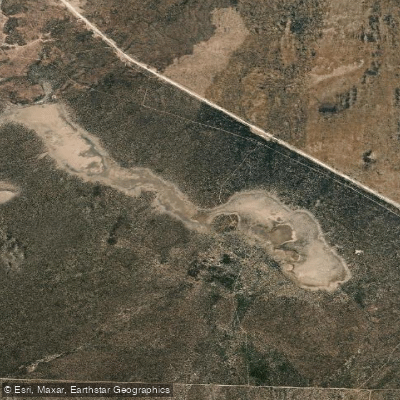
Laguna del Perdido
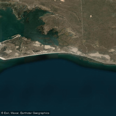
Bahía Ballenas
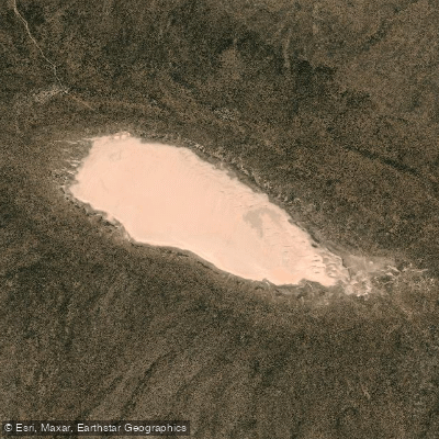
Laguna Tachuela
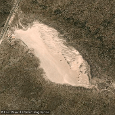
Laguna del Gateado
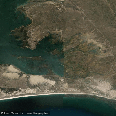
Saco Viejo
Laguna Clara
Explore Río Negro waters
Top fishing waters
No waters available right now.
Popular Cities
Loading popular cities...
Explore near Bahía de San Antonio

Smarter Fishing Starts in the App.
onWater Fish gives you everything you need to plan smarter, fish better, and own every trip from first cast to last.