Río Salado o Chadileuvú
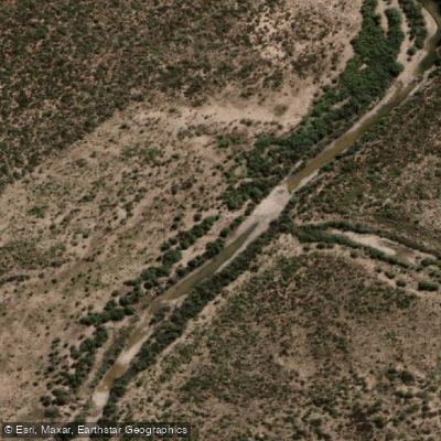
Río Salado o Chadileuvú
- Boat Ramps
- 0
- Access Points
- 0
- Species
- 0
The Río Salado, also known as the Chadileuvú, is one of the most historically significant river systems in Argentina's La Pampa province, forming part of the vast Desaguadero-Salado-Chadileuvú-Curacó drainage basin — the most extensive river basin within Argentina, spanning roughly 300,000 square kilometers across the provinces of Catamarca, La Rioja, San Juan, Mendoza, San Luis, and La Pampa. The river originates from snowmelt-fed (nival regime) sources in the Andean highlands, flowing southward and collecting the waters of the Río Jáchal and Río San Juan before passing through the Lagunas de Guanacache system and forming the provincial boundary between Mendoza and San Luis. Upon entering La Pampa at approximately 36° south latitude, it receives the contributions of the Río Atuel from the west and takes on the name Chadileuvú — a name of Mapuche origin — continuing southward toward the lagunas Urre Lauquen and La Amarga. This is a river shaped by the semi-arid landscape of western La Pampa, flowing through a region of vast open plains and scrubland, making it a remote and distinctive destination for anglers willing to explore one of Argentina's lesser-traveled waterways.
Species & education
Learn what type of fish are at Río Salado o Chadileuvú and what's needed to catch them.
No species information available.
Fishing spots, boat ramps & amenities
Learn how to get on Río Salado o Chadileuvú. Uncover great fishing access points, boat ramps, and all the facilities you need for an unforgettable day on the water. Some locations shown may border or include private property. Always check property boundaries and applicable regulations before visiting. onWater's Public & Private Land layer can help you plan your access with confidence.
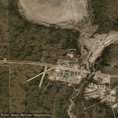
Know where you can legally fish on Río Salado o Chadileuvú
See public and private land boundaries along the water, turn on private parcels with owner details to know where permission is required, and find land-trust parcels that offer permitted fishing access.
La Pampa licenses and regulations

La Pampa Boating Regulations
Boating in Argentina is regulated nationally by the Prefectura Naval Argentina, not by the province - covering recreational-vessel registration, the boat-operator licence (habilitacion nautica), and navigation safety.

La Pampa Fishing License
La Pampa's official permit is issued through this digital platform of the Direccion de Recursos Naturales; requires DNI and a libre-deuda certificate. La Pampa is NOT part of the unified Patagonian permit - its provincial DRN permit is the sole authority.

La Pampa Fishing Regulations
Official Direccion General de Recursos Naturales portal; the season reglamento sets species, cupos, minimum sizes, disinfection protocols, open periods (Rio Quinto/lagunas, Rio Colorado) and standing vedas.

La Pampa Stream Access Laws
No distinct stream-access page; access derives nationally from the Codigo Civil y Comercial. The DRN requirements page defines authorized public/private waters and prohibited zones.
Take Río Salado o Chadileuvú with you
The onWater Fish app keeps this water's access points, species and conditions in your pocket, with the tools you use once you're there.
Use the map without signal
Download the map around Río Salado o Chadileuvú to use it offline when coverage drops.
Log your catches here
Keep a private fishing journal for Río Salado o Chadileuvú to find where and when fish are biting for you.
Get the onWater Fish app
Free on iOS and Android
Water and weather conditions (10 day forecast)
See the best times to fish Río Salado o Chadileuvú and check the forecast before you go.
No forecast data available.
Fishing near Río Salado o Chadileuvú
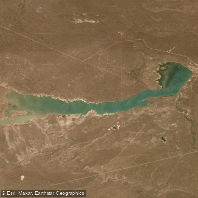
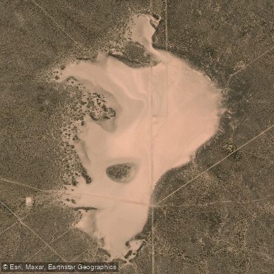
Explore La Pampa waters
Top fishing waters
No waters available right now.
Popular Cities
Loading popular cities...
Explore near Río Salado o Chadileuvú
Fishing spots
Nearby waters
More in La Pampa

Smarter Fishing Starts in the App.
onWater Fish gives you everything you need to plan smarter, fish better, and own every trip from first cast to last.