Río Yacoraite
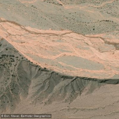
Río Yacoraite
- Boat Ramps
- 0
- Access Points
- 0
- Species
- 0
Río Yacoraite is a mountain stream flowing through the dramatic high-altitude landscape of Jujuy Province in northwestern Argentina. Stretching approximately 55 kilometers in length, the river forms from the confluence of several smaller tributaries — the arroyos Vicuñayoc, Casa Grande, San Carlos, and Casa Chica — all of which originate in the Sierra del Aguilar range. In its lower course, the Yacoraite serves as a natural boundary between the departments of Humahuaca and Tilcara before ultimately draining into the Río Grande, one of the major river systems of the Quebrada de Humahuaca. The river descends through the Cordillera Oriental, a region characterized by striking geological formations, arid canyon landscapes, and the iconic multicolored rock strata that define this UNESCO World Heritage corridor. The surrounding terrain transitions from high-altitude headwaters to the broader floodplain valleys of the Quebrada, offering a remote and visually stunning setting for anglers willing to explore this seldom-visited waterway.
Species & education
Learn what type of fish are at Río Yacoraite and what's needed to catch them.
No species information available.
Fishing spots, boat ramps & amenities
Learn how to get on Río Yacoraite. Uncover great fishing access points, boat ramps, and all the facilities you need for an unforgettable day on the water. Some locations shown may border or include private property. Always check property boundaries and applicable regulations before visiting. onWater's Public & Private Land layer can help you plan your access with confidence.
Upper Section (Headwaters near Sierra del Aguilar): The uppermost reaches of the Yacoraite are formed by the merging of the four source tributaries — Vicuñayoc, Casa Grande, San Carlos, and Casa Chica — high in the Sierra del Aguilar. This section is characterized by steep gradients, fast-moving water, and the rugged mountain terrain typical of the Cordillera Oriental. The high elevation of the source streams means cold, well-oxygenated water throughout much of the year.
Middle Section: As the river descends from the sierra, it transitions through a more moderate gradient, flowing through quebrada terrain with the characteristic narrow canyon passages locally known as "angostos." The western flank of the Quebrada de Humahuaca, where the Yacoraite flows, features gentler, more gradual slopes compared to the steeper eastern ridgelines, giving this section a somewhat more accessible character.
Lower Section (Boundary between Humahuaca and Tilcara): In its lower course, the Yacoraite forms the departmental boundary between Humahuaca and Tilcara before reaching its confluence with the Río Grande. This section may widen somewhat as it approaches the main valley floor, where the Quebrada de Humahuaca can reach floodplain widths exceeding 3 kilometers in places, though it can also narrow dramatically at canyon constrictions.
Know where you can legally fish on Río Yacoraite
See public and private land boundaries along the water, turn on private parcels with owner details to know where permission is required, and find land-trust parcels that offer permitted fishing access.
Jujuy licenses and regulations

Jujuy Boating Regulations
Boating in Argentina is regulated nationally by the Prefectura Naval Argentina, not by the province - covering recreational-vessel registration, the boat-operator licence (habilitacion nautica), and navigation safety.

Jujuy Fishing License
Official Jujuy government page (Ministerio de Ambiente / Secretaria de Biodiversidad) detailing the recreational fishing permit. A personal daily permit or annual licence is mandatory; permits are issued in person in San Salvador de Jujuy.

Jujuy Fishing Regulations
Official Jujuy fishing section publishing each season's habilitacion, vedas, authorized waters and gear. Full reglamento and annual veda resolutions appear in the provincial Boletin Oficial.

Jujuy Stream Access Laws
No distinct stream-access page; access rights derive nationally from the Codigo Civil y Comercial. Jujuy's fishing section is the closest official provincial reference.
Take Río Yacoraite with you
The onWater Fish app keeps this water's access points, species and conditions in your pocket, with the tools you use once you're there.
Use the map without signal
Download the map around Río Yacoraite to use it offline when coverage drops.
Log your catches here
Keep a private fishing journal for Río Yacoraite to find where and when fish are biting for you.
Get the onWater Fish app
Free on iOS and Android
Water and weather conditions (10 day forecast)
See the best times to fish Río Yacoraite and check the forecast before you go.
No forecast data available.
Fishing near Río Yacoraite
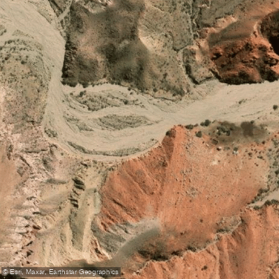
Río de la Quebrada de Cuchiyaco
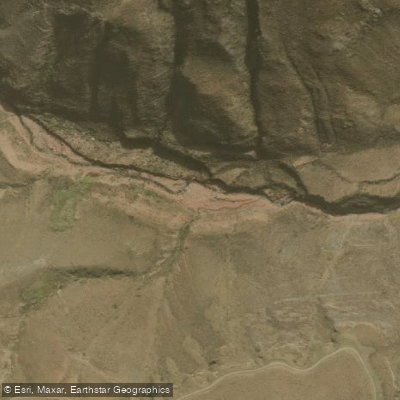
Río Caspalá
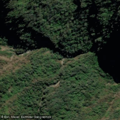
Río Negro
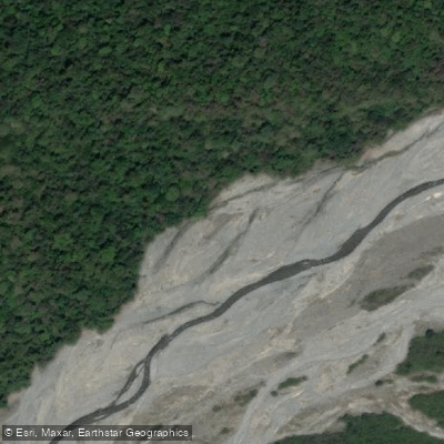
Río Astillero
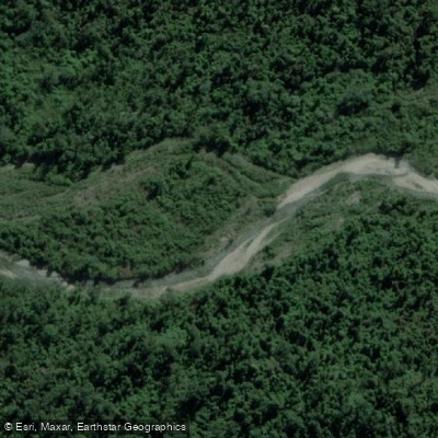
Río de Naranjo
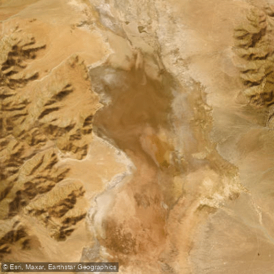
Laguna de Guayatayoc
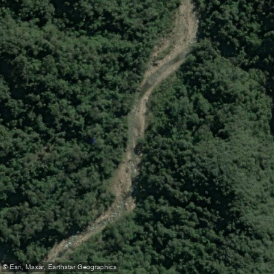
Arroyo Agua Blanca
Río San Lorenzo
Río de las Burras
Explore Jujuy waters
Top fishing waters
No waters available right now.
Popular Cities
Loading popular cities...
Explore near Río Yacoraite

Smarter Fishing Starts in the App.
onWater Fish gives you everything you need to plan smarter, fish better, and own every trip from first cast to last.