Riacho Monte Lindo Grande
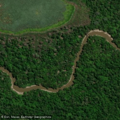
Riacho Monte Lindo Grande
- Boat Ramps
- 0
- Access Points
- 0
- Species
- 0
Riacho Monte Lindo Grande is a remarkable waterway winding through the heart of Formosa Province in northwestern Argentina, part of the greater Cuenca del Plata drainage system. Originating near the town of Pozo del Tigre in the Departamento Patiño at an elevation of approximately 125 meters, this riacho travels roughly 300 kilometers in a predominantly west-to-east direction through a series of countless meanders before emptying into the Río Paraguay at an elevation of about 60 meters. Along its course, it passes through the departments of Patiño, Pirané, and Formosa, draining a broad alluvial plain that varies in width from 800 to 1,600 meters. The riacho receives tributary waters from Riacho Tatú Piré and Riacho Monte Lindo Chico, and during periods of high water on the Río Pilcomayo, an artificial canal of approximately 40 kilometers channels overflow into the system, significantly influencing water levels and fish movement. The surrounding landscape is quintessential Gran Chaco — dense gallery forests and impenetrable monte lining both banks, harboring some of the most diverse flora and fauna in the region. This combination of rich habitat, remote character, and productive waters makes Riacho Monte Lindo Grande one of the more intriguing fishing destinations in Formosa Province.
Species & education
Learn what type of fish are at Riacho Monte Lindo Grande and what's needed to catch them.
No species information available.
Fishing spots, boat ramps & amenities
Learn how to get on Riacho Monte Lindo Grande. Uncover great fishing access points, boat ramps, and all the facilities you need for an unforgettable day on the water. Some locations shown may border or include private property. Always check property boundaries and applicable regulations before visiting. onWater's Public & Private Land layer can help you plan your access with confidence.
The oxbow lakes and abandoned meander channels scattered throughout the floodplain are among the most productive fishing locations on the riacho. These lagoons, formed by the natural migration of the channel over time, trap fish during falling water and concentrate both predators and prey. The outside bends of the riacho's countless meanders, where current scours deeper pools and undercuts banks, are classic ambush points for golden dorado. The confluence areas where tributary riachos — Tatú Piré and Monte Lindo Chico — enter the main channel also concentrate fish, particularly during periods of changing water levels.
Know where you can legally fish on Riacho Monte Lindo Grande
See public and private land boundaries along the water, turn on private parcels with owner details to know where permission is required, and find land-trust parcels that offer permitted fishing access.
Formosa licenses and regulations

Formosa Boating Regulations
Boating in Argentina is regulated nationally by the Prefectura Naval Argentina, not by the province - covering recreational-vessel registration, the boat-operator licence (habilitacion nautica), and navigation safety.

Formosa Fishing License
Official Formosa tramite page for the recreational fishing licence (Direccion de Registro, Control y Fiscalizacion), listing requirements, licence categories, fees, pickup locations and the bank deposit needed.

Formosa Fishing Regulations
Official Formosa Produccion y Ambiente page with the full recreational reglamento: per-species minimum sizes and daily limits, prohibited zones, allowed gear, Law 1314 infractions, and the hydrometric-level-based veda system.

Formosa Stream Access Laws
No distinct stream-access page; access to navigable waters is public domain under the national Codigo Civil y Comercial. The Produccion y Ambiente pesca deportiva page is the closest official page.
Take Riacho Monte Lindo Grande with you
The onWater Fish app keeps this water's access points, species and conditions in your pocket, with the tools you use once you're there.
Use the map without signal
Download the map around Riacho Monte Lindo Grande to use it offline when coverage drops.
Log your catches here
Keep a private fishing journal for Riacho Monte Lindo Grande to find where and when fish are biting for you.
Get the onWater Fish app
Free on iOS and Android
Water and weather conditions (10 day forecast)
See the best times to fish Riacho Monte Lindo Grande and check the forecast before you go.
No forecast data available.
Fishing near Riacho Monte Lindo Grande
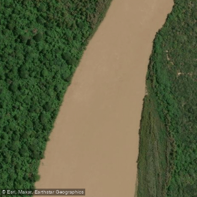
Río Bermejo
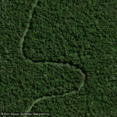
Riacho Magaik
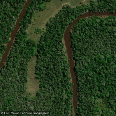
Riacho Pilagá
Riacho Negro
Arroyo Monte Lindo
Arroyo Saladillo
Arroyo Tatú Piré
Arroyo Monte Lindo Chico
Laguna Pargandi
Explore Formosa waters
Top fishing waters
No waters available right now.
Popular Cities
Loading popular cities...
Explore near Riacho Monte Lindo Grande

Smarter Fishing Starts in the App.
onWater Fish gives you everything you need to plan smarter, fish better, and own every trip from first cast to last.