Río Chico
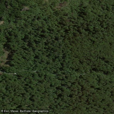
Río Chico
- Boat Ramps
- 0
- Access Points
- 0
- Species
- 0
Río Chico is an intermittent watercourse winding through the central Patagonian steppe of Chubut Province, Argentina. Stretching approximately 300 kilometers, the river originates near Lago Colhué Huapi at an elevation of roughly 260 meters and flows in a northeasterly direction before emptying into the Embalse del Dique Florentino Ameghino, where it joins the Río Chubut system. This makes it the second most significant hydrological basin in the province. The river is notable for tracing the edges of dramatic cañadones — steep-sided ravines and gorges — that define its course through the arid Patagonian landscape. The headwaters area features a broad, expansive lagoon that swells considerably with rainfall and can easily be mistaken for the lake itself. The surrounding terrain is characterized by sparse steppe vegetation typical of central Patagonia, with rural estancias and scattered rural populations along its banks despite the persistently dry conditions of the region.
Species & education
Learn what type of fish are at Río Chico and what's needed to catch them.
No species information available.
Fishing spots, boat ramps & amenities
Learn how to get on Río Chico. Uncover great fishing access points, boat ramps, and all the facilities you need for an unforgettable day on the water. Some locations shown may border or include private property. Always check property boundaries and applicable regulations before visiting. onWater's Public & Private Land layer can help you plan your access with confidence.
Near its origin at Lago Colhué Huapi, the river begins at a relatively low elevation of approximately 260 meters. The headwaters area includes a large, seasonally variable lagoon that expands significantly during periods of rainfall. Access to this upper area runs through the Valle Hermoso road, though this access has been modified by petroleum operations in the area.
Middle and Lower Canyon SectionAs the river progresses northeast, it carves through and borders a series of cañadones — the deep, dramatic ravines characteristic of the Patagonian plateau. These canyon-bordered stretches define much of the river's middle and lower course. The river descends from 260 meters at its source to approximately 130 meters at its mouth, a relatively gentle gradient spread over its 300-kilometer length.
Lower Section and ConfluenceThe river's lower reach terminates at the Embalse Florentino Ameghino reservoir, where it joins the Río Chubut drainage system.
Know where you can legally fish on Río Chico
See public and private land boundaries along the water, turn on private parcels with owner details to know where permission is required, and find land-trust parcels that offer permitted fishing access.
Chubut licenses and regulations

Chubut Boating Regulations
Boating in Argentina is regulated nationally by the Prefectura Naval Argentina, not by the province - covering recreational-vessel registration, the boat-operator licence (habilitacion nautica), and navigation safety.

Chubut Fishing License
Official Chubut Pesca Continental portal for the recreational permit; Chubut participates in the unified Permiso de Pesca Continental Patagonico shared with Neuquen, Rio Negro, Santa Cruz and southern National Parks.

Chubut Fishing Regulations
Official inter-provincial Reglamento de Pesca Deportiva Continental Patagonico applied jointly by Chubut, Neuquen, Rio Negro and Parques Nacionales, defining season, permitted zones, gear (barbless artificial lures) and catch-and-release rules.

Chubut Stream Access Laws
No distinct stream-access page; the closest official provincial resource is the Pesca Continental portal, which governs permitted waters under the Patagonian permit system.
Take Río Chico with you
The onWater Fish app keeps this water's access points, species and conditions in your pocket, with the tools you use once you're there.
Use the map without signal
Download the map around Río Chico to use it offline when coverage drops.
Log your catches here
Keep a private fishing journal for Río Chico to find where and when fish are biting for you.
Get the onWater Fish app
Free on iOS and Android
Water and weather conditions (10 day forecast)
See the best times to fish Río Chico and check the forecast before you go.
No forecast data available.
Fishing near Río Chico
Río Corintos
Lago Futalaufquen
Río Percey
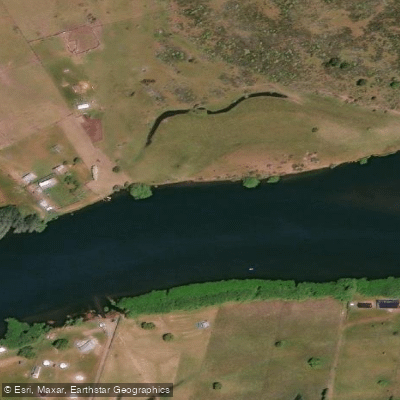
Río Grande o Futaleufú
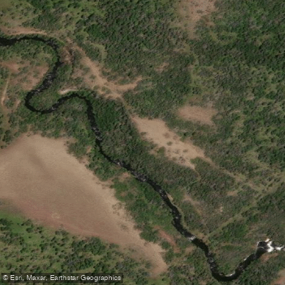
Río Nantifal
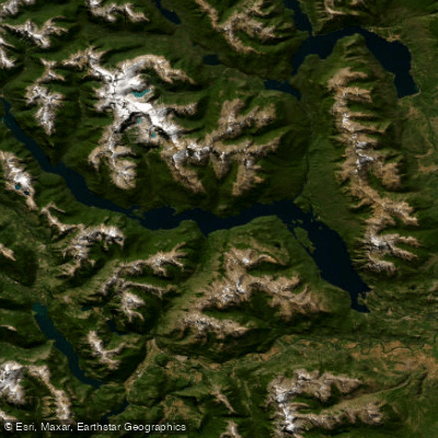
Embalse Amutui Quimei
Arroyo Huemul
Arroyo Blanco
Río Desaguadero
Arroyo Pedregoso
Explore Chubut waters
Top fishing waters
No waters available right now.
Popular Cities
Loading popular cities...
Explore near Río Chico

Smarter Fishing Starts in the App.
onWater Fish gives you everything you need to plan smarter, fish better, and own every trip from first cast to last.