Lago Rivadavia
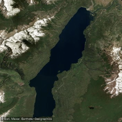
Lago Rivadavia
- Boat Ramps
- 1
- Access Points
- 0
- Species
- 0
Lago Rivadavia is a stunning glacial lake nestled in the Andes of Chubut Province, Argentina, sitting at an elevation of 527 metres (1,729 ft) in a fjord-like trench between glaciated peaks. To the east rises Sierra Rivadavia at 1,924 metres (6,312 ft), and to the west stands Cerro Coronado at 2,097 metres (6,880 ft), with glaciers descending the mountain slopes to approximately 1,500 metres (4,900 ft). The lake occupies a narrow north-to-south valley of glacial origin and is part of the Futaleufú River system, which ultimately flows into the Pacific Ocean via Yelcho Lake and the Yelcho River in Chile. It is the second lake in this chain, after Lago Cholila to the north. Nearly all of the lake lies within Los Alerces National Park, with only the northern tip extending beyond park boundaries. The waters are famously clear, and the surrounding landscape — with its beech forests, snow-capped peaks, and lush riparian vegetation — makes this one of the most visually spectacular fishing destinations in all of Patagonia. The Jara River joins the lake on its western side near the southern end, and the lake's outflow is the Río Rivadavia, which flows 6.7 kilometres (4.2 miles) southward into Lago Verde.
Species & education
Learn what type of fish are at Lago Rivadavia and what's needed to catch them.
No species information available.
Fishing spots, boat ramps & amenities
Learn how to get on Lago Rivadavia. Uncover great fishing access points, boat ramps, and all the facilities you need for an unforgettable day on the water. Some locations shown may border or include private property. Always check property boundaries and applicable regulations before visiting. onWater's Public & Private Land layer can help you plan your access with confidence.
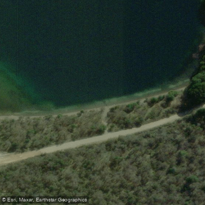
Know where you can legally fish on Lago Rivadavia
See public and private land boundaries along the water, turn on private parcels with owner details to know where permission is required, and find land-trust parcels that offer permitted fishing access.
Chubut licenses and regulations

Chubut Boating Regulations
Boating in Argentina is regulated nationally by the Prefectura Naval Argentina, not by the province - covering recreational-vessel registration, the boat-operator licence (habilitacion nautica), and navigation safety.

Chubut Fishing License
Official Chubut Pesca Continental portal for the recreational permit; Chubut participates in the unified Permiso de Pesca Continental Patagonico shared with Neuquen, Rio Negro, Santa Cruz and southern National Parks.

Chubut Fishing Regulations
Official inter-provincial Reglamento de Pesca Deportiva Continental Patagonico applied jointly by Chubut, Neuquen, Rio Negro and Parques Nacionales, defining season, permitted zones, gear (barbless artificial lures) and catch-and-release rules.

Chubut Stream Access Laws
No distinct stream-access page; the closest official provincial resource is the Pesca Continental portal, which governs permitted waters under the Patagonian permit system.
Take Lago Rivadavia with you
The onWater Fish app keeps this water's access points, species and conditions in your pocket, with the tools you use once you're there.
Use the map without signal
Download the map around Lago Rivadavia to use it offline when coverage drops.
Log your catches here
Keep a private fishing journal for Lago Rivadavia to find where and when fish are biting for you.
HD depth charts from Garmin
Find drop offs, ledges, channels, points and shallow flats with Garmin depth charts in the app.
Get the onWater Fish app
Free on iOS and Android
Water and weather conditions (10 day forecast)
See the best times to fish Lago Rivadavia and check the forecast before you go.
No forecast data available.
Fishing near Lago Rivadavia
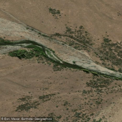
Río Corintos
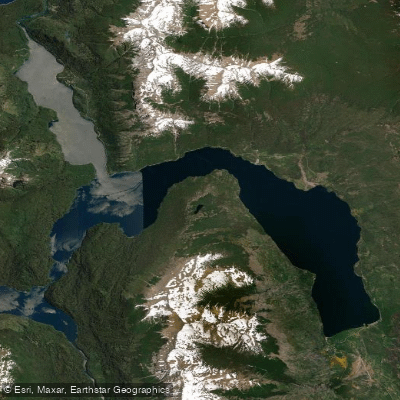
Lago Futalaufquen
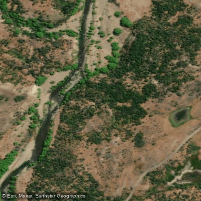
Río Percey
Arroyo Pedregoso
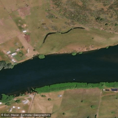
Río Grande o Futaleufú
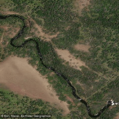
Río Nantifal
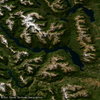
Embalse Amutui Quimei
Arroyo Calihuel
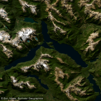
Lago Menéndez
Explore Chubut waters
Top fishing waters
No waters available right now.
Popular Cities
Loading popular cities...
Explore near Lago Rivadavia

Smarter Fishing Starts in the App.
onWater Fish gives you everything you need to plan smarter, fish better, and own every trip from first cast to last.