Río Aguas Calientes
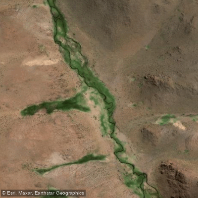
Río Aguas Calientes
- Boat Ramps
- 0
- Access Points
- 0
- Species
- 0
Río Aguas Calientes is a high-altitude river located in the Puna region of Catamarca Province, Argentina, flowing at an elevation of approximately 4,063 meters (roughly 13,330 feet) above sea level. This remote and rugged waterway sits within the precordillera landscape of northwestern Argentina, where the extreme elevation shapes nearly every aspect of the fishing experience. The river's name — meaning "hot waters" — reflects the geothermal influences present in the region, and its high-altitude Puna setting gives it a character unlike lowland rivers. The combination of cold, clear mountain water, sparse human presence, and a unique native fish community alongside introduced salmonids makes Río Aguas Calientes a genuinely wild and adventurous destination for anglers willing to make the journey.
Species & education
Learn what type of fish are at Río Aguas Calientes and what's needed to catch them.
No species information available.
Fishing spots, boat ramps & amenities
Learn how to get on Río Aguas Calientes. Uncover great fishing access points, boat ramps, and all the facilities you need for an unforgettable day on the water. Some locations shown may border or include private property. Always check property boundaries and applicable regulations before visiting. onWater's Public & Private Land layer can help you plan your access with confidence.
The river's torrent character, with fast-moving water over rocky substrate, means that trout are most likely to hold in slower pockets, pools behind large boulders, and eddies where they can conserve energy while intercepting food. Focus on any deeper pools, the margins of fast runs, and sheltered lies behind large rocks — these are the prime holding areas in a high-gradient Puna river.
Know where you can legally fish on Río Aguas Calientes
See public and private land boundaries along the water, turn on private parcels with owner details to know where permission is required, and find land-trust parcels that offer permitted fishing access.
Catamarca licenses and regulations

Catamarca Boating Regulations
Boating in Argentina is regulated nationally by the Prefectura Naval Argentina, not by the province - covering recreational-vessel registration, the boat-operator licence (habilitacion nautica), and navigation safety.

Catamarca Fishing License
Catamarca's annual permiso de pesca deportiva is issued by the provincial Secretaria de Medio Ambiente (Direccion de Recursos Forestales, Suelo y Biodiversidad); applicants must be 14+, with in-person and digital routes.

Catamarca Fishing Regulations
Catamarca's fishing framework is provincial Ley de Pesca on the official provincial Digesto; annual season specifics are set by a seasonal Disposicion.

Catamarca Stream Access Laws
No distinct Catamarca stream-access page; water access follows the national camino de sirga. The provincial Secretaria de Medio Ambiente is the closest official authority.
Take Río Aguas Calientes with you
The onWater Fish app keeps this water's access points, species and conditions in your pocket, with the tools you use once you're there.
Use the map without signal
Download the map around Río Aguas Calientes to use it offline when coverage drops.
Log your catches here
Keep a private fishing journal for Río Aguas Calientes to find where and when fish are biting for you.
Get the onWater Fish app
Free on iOS and Android
Water and weather conditions (10 day forecast)
See the best times to fish Río Aguas Calientes and check the forecast before you go.
No forecast data available.
Fishing near Río Aguas Calientes
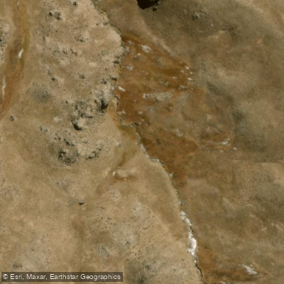
Río Andalhualá
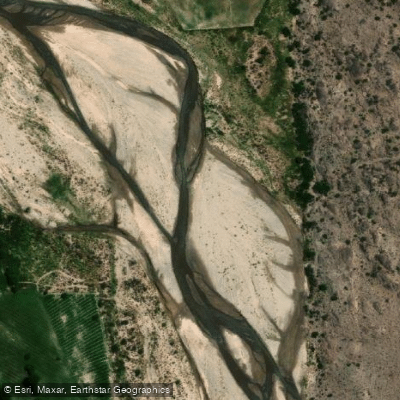
Río Cerro Colorado
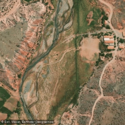
Río Calchaquí
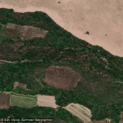
Río Tapia
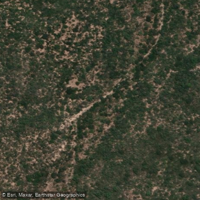
Río India Muerta
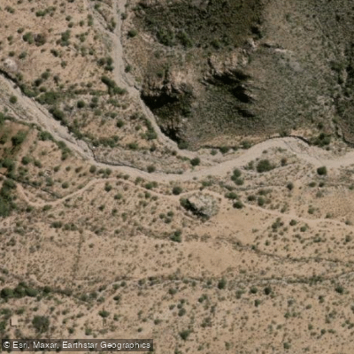
Río Las Cañas
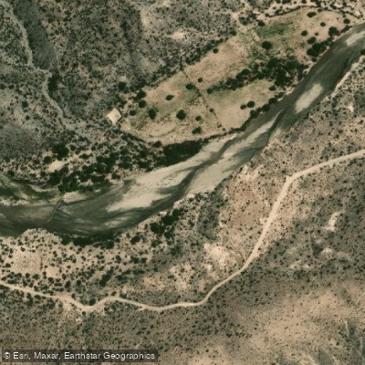
Río Totoral
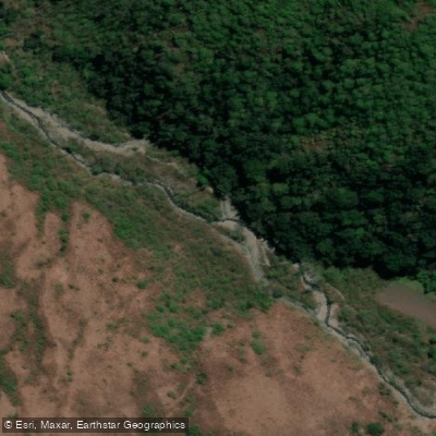
Río Rearte
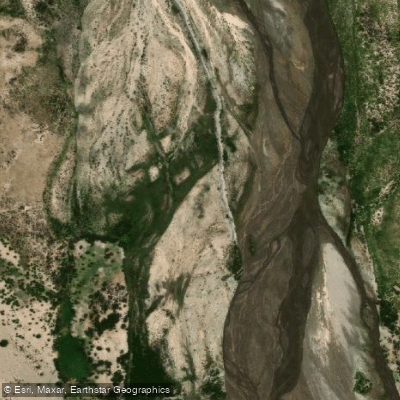
Río Saladillo
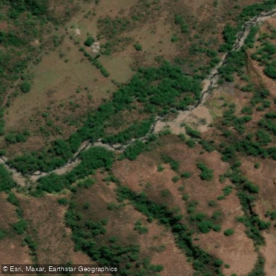
Río de las Cañas
Explore Catamarca waters
Top fishing waters
No waters available right now.
Popular Cities
Loading popular cities...
Explore near Río Aguas Calientes

Smarter Fishing Starts in the App.
onWater Fish gives you everything you need to plan smarter, fish better, and own every trip from first cast to last.