Lagunas Encadenadas del Oeste
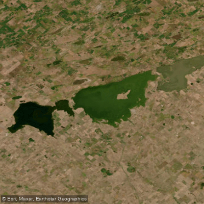
Lagunas Encadenadas del Oeste
- Boat Ramps
- 0
- Access Points
- 0
- Species
- 0
Lagunas Encadenadas del Oeste is a remarkable chain of interconnected shallow lakes situated in the western Buenos Aires Province of Argentina, centered near coordinates 36.95°S, 62.38°W at elevations ranging from approximately 92 to 103 meters above sea level. This endorheic (closed drainage) basin system spans over 1,280 square kilometers and represents one of the most ecologically significant lentic (still-water) environments in the entire Pampas region. The lakes are linked through a network of canals, forming a hydrologically connected chain that serves both flood-control functions and supports the surrounding communities. The surrounding landscape transitions between open grasslands dominated by native grasses, sparse woodlands of caldén (Prosopis caldenia) and chañar (Geoffroea decorticans) toward the southern and western margins, and shoreline communities of salt-tolerant vegetation including jume (Sarcocornia sp.) and pelo de chancho (Distichlis spicata), with scattered dune formations. This mosaic of habitats creates a productive and diverse aquatic ecosystem that supports a rich fish fauna and attracts anglers from across the region.
Species & education
Learn what type of fish are at Lagunas Encadenadas del Oeste and what's needed to catch them.
No species information available.
Fishing spots, boat ramps & amenities
Learn how to get on Lagunas Encadenadas del Oeste. Uncover great fishing access points, boat ramps, and all the facilities you need for an unforgettable day on the water. Some locations shown may border or include private property. Always check property boundaries and applicable regulations before visiting. onWater's Public & Private Land layer can help you plan your access with confidence.
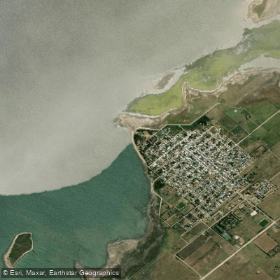
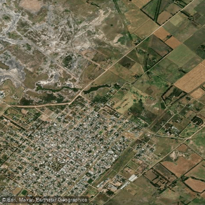
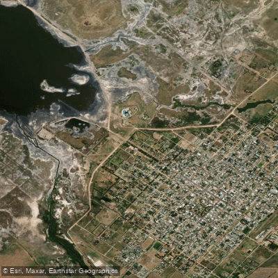
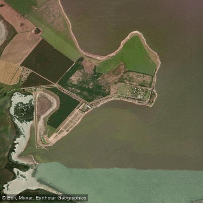
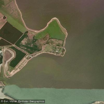
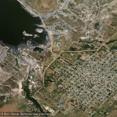
Know where you can legally fish on Lagunas Encadenadas del Oeste
See public and private land boundaries along the water, turn on private parcels with owner details to know where permission is required, and find land-trust parcels that offer permitted fishing access.
Buenos Aires licenses and regulations

Buenos Aires Boating Regulations
Boating in Argentina is regulated nationally by the Prefectura Naval Argentina, not by the province - covering recreational-vessel registration, the boat-operator licence (habilitacion nautica), and navigation safety.

Buenos Aires Fishing License
Official Province of Buenos Aires (Ministerio de Desarrollo Agrario) page to obtain a provincial sport-fishing licence online. Mandatory under provincial Law 11.477; certain groups (minors, retirees, disabled persons, Malvinas veterans) qualify for free licences.

Buenos Aires Fishing Regulations
Official provincial sport-fishing reglamento from the Direccion Provincial de Pesca, linking the downloadable regulations plus closed-season (veda), catch quotas (cupos) and zone rules.

Buenos Aires Stream Access Laws
No distinct provincial stream-access page exists; shoreline access is governed nationally by the camino de sirga (Civil and Commercial Code art. 1974). This provincial fishing hub is the closest official reference.
Take Lagunas Encadenadas del Oeste with you
The onWater Fish app keeps this water's access points, species and conditions in your pocket, with the tools you use once you're there.
Use the map without signal
Download the map around Lagunas Encadenadas del Oeste to use it offline when coverage drops.
Log your catches here
Keep a private fishing journal for Lagunas Encadenadas del Oeste to find where and when fish are biting for you.
HD depth charts from Garmin
Find drop offs, ledges, channels, points and shallow flats with Garmin depth charts in the app.
Get the onWater Fish app
Free on iOS and Android
Water and weather conditions (10 day forecast)
See the best times to fish Lagunas Encadenadas del Oeste and check the forecast before you go.
No forecast data available.
Fishing near Lagunas Encadenadas del Oeste
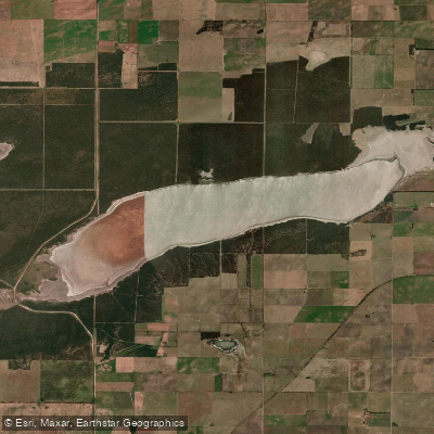
Laguna La Amarga
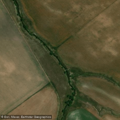
Arroyo Pigüé
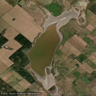
Laguna Larga
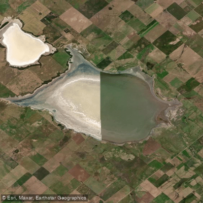
Laguna de la Sal
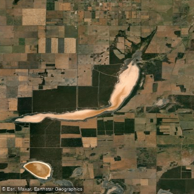
Laguna Guatraché
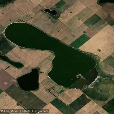
Laguna La Salada
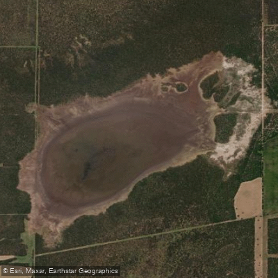
Laguna La Pantanosa
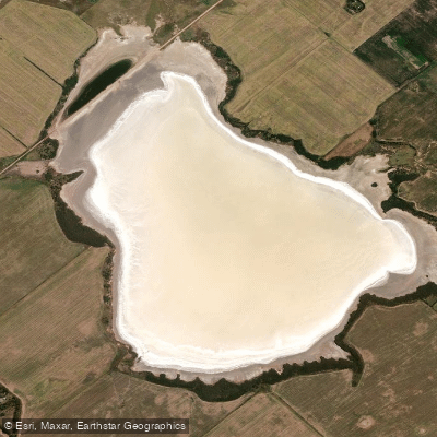
Laguna Leubucó
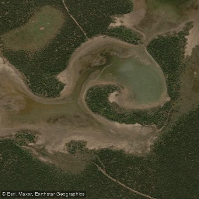
Laguna Parque Luro
Explore Buenos Aires waters
Top fishing waters
No waters available right now.
Popular Cities
Loading popular cities...
Explore near Lagunas Encadenadas del Oeste
Fishing spots
Nearby waters
More in Buenos Aires

Smarter Fishing Starts in the App.
onWater Fish gives you everything you need to plan smarter, fish better, and own every trip from first cast to last.